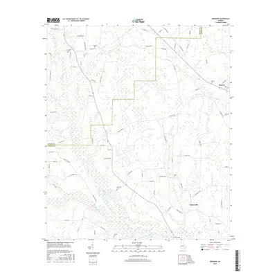
2017 Map of Mershon
USGS Topo · Published 2017About this map
The Alabaha River and its complex network of tributaries, including Hurricane Cr and Little Hurricane Cr, define the drainage of this coastal plain landscape. At the southern edge, Sweat Bridge crossing the river serves as a key local landmark. Settlement is anchored by the community of Mershon in the northeast and Walkersville to the southeast, both linked by a web of rural roads. Genealogists and local historians will find significant value in the distribution of family and community burial sites across the territory, ranging from the Ten Mile Cem near the western border to the Mershon Cem, Henderson Cem, and Friendship Cem. The landscape is largely defined by its wetlands and small watercourses like Crooked Creek and Temple Cr, which have shaped the rural development and road patterns of Pierce and Bacon counties.
Find a feature on this map
81 named features on this map. Tap any name to fly to it.
Don’t see what you’re looking for? This feature index may not catch every label — zoom into the map to look around manually.
Map Details
Editions of this 2017 Mershon Map
This is the sole edition of this map. No revisions or reprints were ever made.
Other maps of this area

1953 · Waycross
USGS Topo · 1:250,000

1958 · Waycross
USGS Topo · 1:250,000

1971 · Dixie Union
USGS Topo · 1:24,000

1971 · Coffee
USGS Topo · 1:24,000

1971 · Blackshear East
USGS Topo · 1:24,000

1971 · K'ville
USGS Topo · 1:24,000

1971 · Patterson
USGS Topo · 1:24,000

1971 · Alma
USGS Topo · 1:24,000

1971 · Blackshear West
USGS Topo · 1:24,000

1971 · Mershon
USGS Topo · 1:24,000