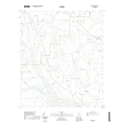
2020 Map of Mershon
USGS Topo · Published 2020About this map
The Alabaha River and its numerous tributaries, including Hurricane Cr and Little Hurricane Cr, dictate the geography of this Pierce County landscape. The settlement of Mershon serves as a primary hub in the northeast, while Walkersville anchors the southeastern corner. This area is characterized by a high density of rural burial grounds, such as Friendship Cem, Henderson Cem, and Youmans Cem, which provide significant points of interest for genealogical research in Georgia's coastal plain. The road network connects these small communities via routes like Mershon Rd and Coffee Rd, crossing water at landmarks like Sweat Bridge. The terrain is defined by a intricate system of wetlands and small creeks like Briar Cr and Crooked Creek, which separate the agricultural fields and scattered homesteads of the early 21st century.
Find a feature on this map
84 named features on this map. Tap any name to fly to it.
Don’t see what you’re looking for? This feature index may not catch every label — zoom into the map to look around manually.
Map Details
Editions of this 2020 Mershon Map
This is the sole edition of this map. No revisions or reprints were ever made.
Other maps of this area

1953 · Waycross
USGS Topo · 1:250,000

1958 · Waycross
USGS Topo · 1:250,000

1971 · Dixie Union
USGS Topo · 1:24,000

1971 · Coffee
USGS Topo · 1:24,000

1971 · Blackshear East
USGS Topo · 1:24,000

1971 · K'ville
USGS Topo · 1:24,000

1971 · Patterson
USGS Topo · 1:24,000

1971 · Alma
USGS Topo · 1:24,000

1971 · Blackshear West
USGS Topo · 1:24,000

1971 · Mershon
USGS Topo · 1:24,000