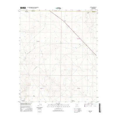
2017 Map of Mesa
USGS Topo · Published 2017About this map
Mesa serves as a lone point of reference in this arid region of southeast New Mexico, where the landscape is defined by its drainages and essential water management for ranching. The terrain transitions from the high ground of Poquita Mesa in the northeast down toward the seasonal watercourses of Middle Fork Fivemile Draw and West Fork Fivemile Draw. This 2017 survey reveals a grid of property boundaries and local roads like Stargrass Rd and Cat Rd that facilitate movement through a landscape dominated by livestock infrastructure.
Find a feature on this map
32 named features on this map. Tap any name to fly to it.
Don’t see what you’re looking for? This feature index may not catch every label — zoom into the map to look around manually.
Map Details
Editions of this 2017 Mesa Map
This is the sole edition of this map. No revisions or reprints were ever made.
Other maps of this area

1954 · Fort Sumner
USGS Topo · 1:250,000

1955 · Roswell
USGS Topo · 1:250,000

1958 · Fort Sumner
USGS Topo · 1:250,000

1958 · Roswell
USGS Topo · 1:250,000

1962 · Roswell
USGS Topo · 1:250,000

1967 · Wire Lake
USGS Topo · 1:24,000

1967 · Round Mountain SE
USGS Topo · 1:24,000

1967 · Round Mountain
USGS Topo · 1:24,000

1967 · Dunlap Sill
USGS Topo · 1:24,000

1967 · Devils Well
USGS Topo · 1:24,000