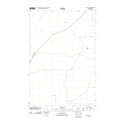
2011 Map of Mesa East
USGS Topo · Published 2011About this map
Cactus stands as the primary named settlement in this pocket of Franklin County, marking a landscape defined by its agricultural grid and natural drainage patterns. The topography is shaped by the presence of Dunnigan Coulee, which cuts through the eastern portion of the sheet. The local transportation network is anchored by a series of named rural routes, including Pepiot Rd and Coordes Rd, which serve the large-scale farm plots typical of the region. These roads often bear the names of local families, such as Statsney Rd, Blanton Rd, and Owsley Rd, providing valuable points of reference for genealogists and local historians tracking property ownership and lineage in the area north of the Snake River plain.
Find a feature on this map
10 named features on this map. Tap any name to fly to it.
Don’t see what you’re looking for? This feature index may not catch every label — zoom into the map to look around manually.
Map Details
Editions of this 2011 Mesa East Map
This is the sole edition of this map. No revisions or reprints were ever made.
Other maps of this area

1915 · Wallulah
USGS Topo · 1:96,000

1916 · Connell
USGS Topo · 1:125,000

1917 · Pasco
USGS Topo · 1:125,000

1918 · Connell
USGS Topo · 1:125,000

1918 · Wallula
USGS Topo · 1:125,000

1925 · Scooteney Lake
USGS Topo · 1:62,500

1951 · Scooteney Lake
USGS Topo · 1:62,500

1953 · Walla Walla
USGS Topo · 1:250,000

1958 · Walla Walla
USGS Topo · 1:250,000

1963 · Rye Grass Coulee
USGS Topo · 1:24,000