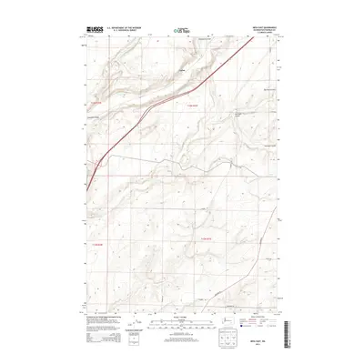
2013 Map of Mesa East
USGS Topo · Published 2013About this map
Esquatzel Coulee cuts a deep, winding path through this portion of Franklin County, defining the drainage patterns and transportation routes of the high desert landscape. The settlement of Cactus sits along the northern reaches of this geographical feature, adjacent to the primary corridor of Highway 395. The map reveals a land heavily influenced by its geological history, where dry watercourses like Old Maid Coulee and Dunnigan Coulee intersect with a grid of rural roads. These thoroughfares, including Blanton Rd and Overturf Rd, connect scattered agricultural holdings and isolated homesteads. The terrain transitions from the lower elevations of the coulee floors to the higher, undulating plateau surfaces, illustrating the complex erosional topography characteristic of this part of eastern Washington.
Find a feature on this map
16 named features on this map. Tap any name to fly to it.
Don’t see what you’re looking for? This feature index may not catch every label — zoom into the map to look around manually.
Map Details
Editions of this 2013 Mesa East Map
This is the sole edition of this map. No revisions or reprints were ever made.
Other maps of this area

1915 · Wallulah
USGS Topo · 1:96,000

1916 · Connell
USGS Topo · 1:125,000

1917 · Pasco
USGS Topo · 1:125,000

1918 · Connell
USGS Topo · 1:125,000

1918 · Wallula
USGS Topo · 1:125,000

1925 · Scooteney Lake
USGS Topo · 1:62,500

1951 · Scooteney Lake
USGS Topo · 1:62,500

1953 · Walla Walla
USGS Topo · 1:250,000

1958 · Walla Walla
USGS Topo · 1:250,000

1963 · Rye Grass Coulee
USGS Topo · 1:24,000