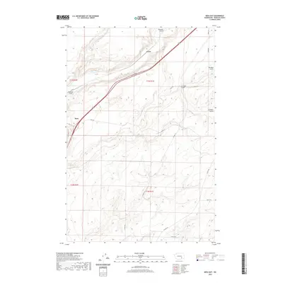
2020 Map of Mesa East
USGS Topo · Published 2020About this map
Mesa serves as the primary hub in this Franklin County landscape, situated where the terrain begins its ascent from the lower flats into a complex system of drainage channels. The geography is defined by prominent geological features such as Esquatzel Coulee, which cuts a distinct path through the topography, alongside Dunnigan Coulee and Old Maid Coulee to the northeast. These coulees reflect the dramatic erosional history of the Columbia Basin, creating a series of natural corridors and ridgelines.
Find a feature on this map
21 named features on this map. Tap any name to fly to it.
Don’t see what you’re looking for? This feature index may not catch every label — zoom into the map to look around manually.
Map Details
Editions of this 2020 Mesa East Map
This is the sole edition of this map. No revisions or reprints were ever made.
Other maps of this area

1915 · Wallulah
USGS Topo · 1:96,000

1916 · Connell
USGS Topo · 1:125,000

1917 · Pasco
USGS Topo · 1:125,000

1918 · Connell
USGS Topo · 1:125,000

1918 · Wallula
USGS Topo · 1:125,000

1925 · Scooteney Lake
USGS Topo · 1:62,500

1951 · Scooteney Lake
USGS Topo · 1:62,500

1953 · Walla Walla
USGS Topo · 1:250,000

1958 · Walla Walla
USGS Topo · 1:250,000

1963 · Rye Grass Coulee
USGS Topo · 1:24,000