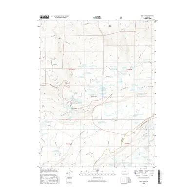
2016 Map of Mesa Lakes
USGS Topo · Published 2016About this map
Grand Mesa National Forest defines the geography of this high-altitude landscape, where an intricate network of irrigation and storage reservoirs supports the surrounding region. The settlement at Mesa Lakes serves as a central hub, situated near notable water bodies such as Mesa Lake, Sunset Lake, and Beaver Lake. This 2016 survey illustrates a complex system of water management, featuring numerous numbered impoundments like Jumbo Reservoir and Coon Cr Reservoir Number 1, connected by creeks and drainages including Mesa Creek.
Find a feature on this map
102 named features on this map. Tap any name to fly to it.
Don’t see what you’re looking for? This feature index may not catch every label — zoom into the map to look around manually.
Map Details
Editions of this 2016 Mesa Lakes Map
This is the sole edition of this map. No revisions or reprints were ever made.
Other maps of this area

1955 · Collbran
USGS Topo · 1:24,000

1955 · Mesa
USGS Topo · 1:24,000

1955 · Grand Mesa
USGS Topo · 1:24,000

1955 · Molina
USGS Topo · 1:24,000

1955 · Skyway
USGS Topo · 1:24,000

1956 · Montrose
USGS Topo · 1:250,000

1956 · Moab
USGS Topo · 1:250,000

1956 · Grand Junction
USGS Topo · 1:250,000

1957 · Leadville
USGS Topo · 1:250,000

1959 · Grand Junction
USGS Topo · 1:250,000