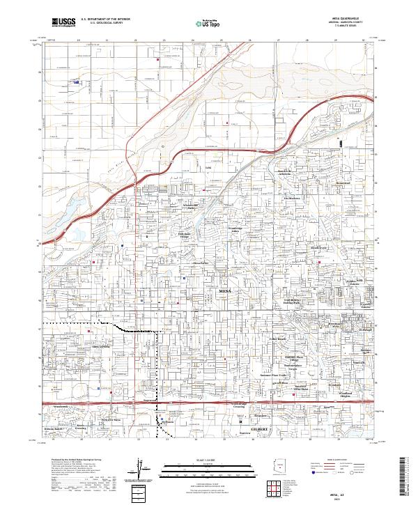
2021 Map of Mesa
USGS Topo · Published 2021About this map
The Salt River and its accompanying irrigation infrastructure, including the Southern Canal and Consolidated Canal, define the geographic and historical development of this Maricopa County landscape. In the early 2020s, the area reflects a dense suburban expansion through Mesa and its numerous residential developments such as Rancho de Arboleda, Meadowvale, and Fuller Ranch. The map captures the cultural and educational footprints of the city, from Mesa Community College and the Mesa School of Allied Health at Arizona College to spiritual and memorial landmarks like the City Of Mesa Cem and Queen of Heaven Cem. Traces of the region's ancient history are acknowledged through the naming of Hohokam Village, while more recent agricultural roots are visible in the settlement of Lehi and the sprawling network of roads like Beeline Hwy and E McKellips Rd that connect these desert communities.
Find a feature on this map
192 named features on this map. Tap any name to fly to it.
Don’t see what you’re looking for? This feature index may not catch every label — zoom into the map to look around manually.
Map Details
Editions of this 2021 Mesa Map
This is the sole edition of this map. No revisions or reprints were ever made.
Other maps of this area

1904 · Camelback
USGS Topo · 1:62,500

1904 · Desert Well
USGS Topo · 1:62,500

1904 · Ft. McDowell
USGS Topo · 1:62,500

1906 · Camelsback
USGS Topo · 1:62,500

1906 · Ft. McDowell
USGS Topo · 1:62,500

1906 · Desert Well
USGS Topo · 1:62,500

1913 · Mesa
USGS Topo · 1:62,500

1915 · Mesa
USGS Topo · 1:62,500

1930 · Cave Creek
USGS Topo · 1:125,000

1939 · Cave Creek
USGS Topo · 1:125,000