
1971 Map of Mesa Parada NW
USGS Topo · Published 1973About this map
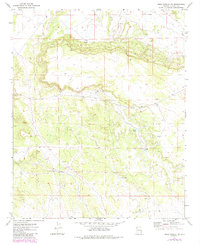
St Johns mesa dominates this landscape in Apache County, as it appeared in the early 1970s following photogrammetric mapping by the U.S. Geological Survey. The high plateau is defined by its water management infrastructure, essential for ranching and land use in this arid region. Numerous catchment systems and groundwater access points are documented, including the Coulter Tank and Upper Tank, alongside scattered Well and Water Tank locations across the range. A singular Radio Facility is noted on the eastern edge of the survey area, marking a point of modern infrastructure in an otherwise sparsely developed landscape of canyons and escarpments. The topography is also dotted with natural Springs, indicating the vital water sources that shaped movement and land use patterns throughout the quadrangle.
Find a feature on this map
9 named features on this map. Tap any name to fly to it.
Don’t see what you’re looking for? This feature index may not catch every label — zoom into the map to look around manually.
Map Details
Editions of this 1971 Mesa Parada NW Map
2 editions found
Other maps of this area

1886 · St Johns
USGS Topo · 1:250,000

1892 · St Johns
USGS Topo · 1:250,000

1954 · Saint Johns
USGS Topo · 1:250,000

1957 · Saint Johns
USGS Topo · 1:250,000

1958 · Saint Johns
USGS Topo · 1:250,000

1962 · Saint Johns
USGS Topo · 1:250,000

1971 · Mesa Parada
USGS Topo · 1:24,000
1971 · Voigt Ranch
USGS Topo · 1:24,000
1971 · The Rincon
USGS Topo · 1:24,000
1971 · Lyman Lake
USGS Topo · 1:24,000