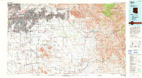
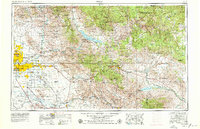
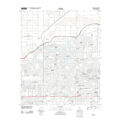
1994 Map of Mesa
USGS Topo · Published 1994About this map
Phoenix and Mesa stand at the western edge of this 1994 map, anchoring an urban landscape that rapidly transitions into the iconic peaks of the Superstition Mountains. The map reveals a complex arrangement of indigenous lands and modern infrastructure, featuring both the Salt River Indian Reservation and the Gila River Indian Reservation. To the south, the archaeological significance of the region is highlighted by Casa Grande Ruins Nat Mon and the Hohokam Pima Nat Monument.
Find a feature on this map
106 named features on this map. Tap any name to fly to it.
Don’t see what you’re looking for? This feature index may not catch every label — zoom into the map to look around manually.
Map Details
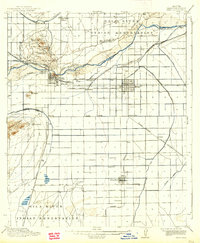
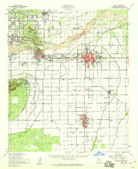
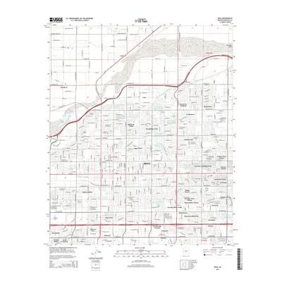
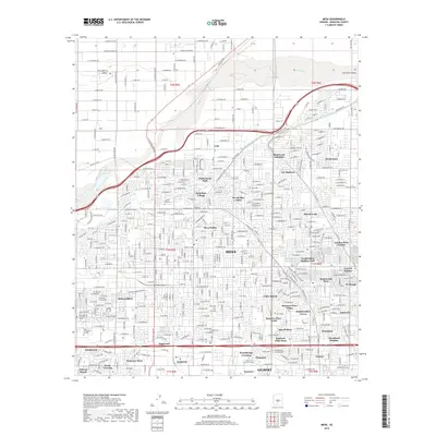
Editions of this 1994 Mesa Map
2 editions found
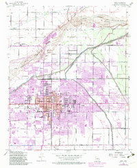
Historical Maps of Phoenix Through Time
16 maps found

1913 Mesa
Maricopa County, AZ
1915 Mesa
Maricopa County, AZ
1952 Mesa
Maricopa County, AZ
1952 Mesa
Maricopa County, AZ
1954 Mesa
Maricopa County, AZ

1957 Mesa
Maricopa County, AZ

1958 Mesa
Maricopa County, AZ

1960 Mesa
Maricopa County, AZ

1964 Mesa
Maricopa County, AZ
1971 Mesa
Maricopa County, AZ
1972 Mesa
Maricopa County, AZ
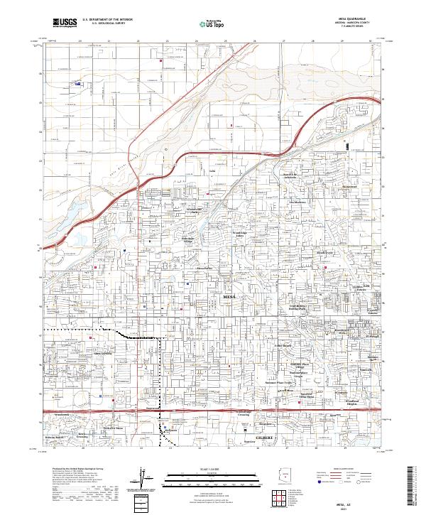
1994 Mesa
Maricopa County, AZ
2011 Mesa
Maricopa County, AZ
2014 Mesa
Maricopa County, AZ
2018 Mesa
Maricopa County, AZ
2021 Mesa
Maricopa County, AZ