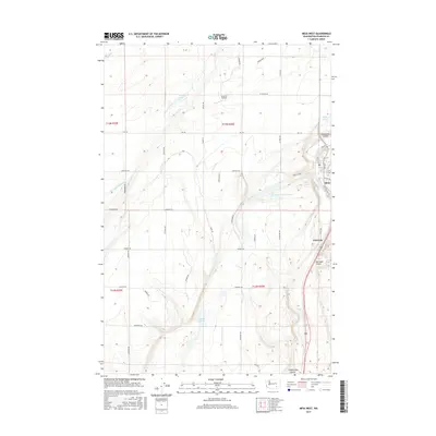
2017 Map of Mesa West
USGS Topo · Published 2017About this map
Mesa and the smaller settlement of Edwards anchor this central Washington landscape, where the agricultural and aviation needs of Franklin County are etched into the terrain. The presence of Slinkard Airfield north of the town center suggests the importance of aerial access in this rural region, while the Bernsens-810 Reservoir and Mesa Lake indicate a managed water system vital for local industry and irrigation. The topography is defined by the significant depressions of Esquatzel Coulee and Old Maid Coulee, which cut through the land alongside a network of local roads such as RD 170 and Sheffield Rd. Several small bodies of water, including Worth Lake, Bailie Pond, and Clark Pond, are scattered across the landscape, providing specific points of interest for those studying the local hydrology and land use patterns of the early 21st century.
Find a feature on this map
47 named features on this map. Tap any name to fly to it.
Don’t see what you’re looking for? This feature index may not catch every label — zoom into the map to look around manually.
Map Details
Editions of this 2017 Mesa West Map
This is the sole edition of this map. No revisions or reprints were ever made.
Other maps of this area

1915 · Wallulah
USGS Topo · 1:96,000

1916 · Connell
USGS Topo · 1:125,000

1917 · Pasco
USGS Topo · 1:125,000

1918 · Connell
USGS Topo · 1:125,000

1918 · Wallula
USGS Topo · 1:125,000

1925 · Scooteney Lake
USGS Topo · 1:62,500

1951 · Scooteney Lake
USGS Topo · 1:62,500

1953 · Walla Walla
USGS Topo · 1:250,000

1958 · Walla Walla
USGS Topo · 1:250,000

1963 · Rye Grass Coulee
USGS Topo · 1:24,000