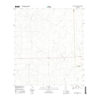
2016 Map of Mesteno Creek South
USGS Topo · Published 2016About this map
Mesteño Creek and its seasonal tributaries define this portion of the South Texas brush country along the Webb and La Salle County border. This landscape is characterized by a sparse network of ranching infrastructure, where unpaved corridors like Alamo Rd and Raices Rd connect remote homesteads and grazing lands. The drainage patterns of Jaboncillo Cr and Chucareto Cr illustrate the arid environment's dependence on natural watersheds. Large-scale land management is evident in the systematic numbering of access routes, including Ranch Rd 863 and Ranch Rd 6278B, which crisscross the low-lying terrain. The map captures the quiet, utilitarian nature of the borderlands, focusing on the essential features of hydrology and transport required for livestock operations in this corner of the state.
Find a feature on this map
14 named features on this map. Tap any name to fly to it.
Don’t see what you’re looking for? This feature index may not catch every label — zoom into the map to look around manually.
Map Details
Editions of this 2016 Mesteno Creek South Map
This is the sole edition of this map. No revisions or reprints were ever made.
Other maps of this area

1929 · Cotulla
USGS Topo · 1:125,000

1940 · Velenzuela Creek
USGS Topo · 1:62,500

1953 · Crystal City
USGS Topo · 1:250,000

1955 · Crystal City
USGS Topo · 1:250,000

1956 · Las Tiendas
USGS Topo · 1:62,500

1956 · Webb
USGS Topo · 1:62,500

1956 · Laredo
USGS Topo · 1:250,000

1957 · Encinal
USGS Topo · 1:62,500

1961 · Crystal City
USGS Topo · 1:250,000

1965 · Spohn Ranch
USGS Topo · 1:24,000