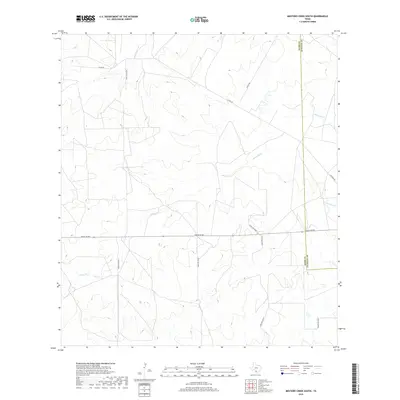
2019 Map of Mesteno Creek South
USGS Topo · Published 2019About this map
Jaboncillo Cr and Chucareto Cr define the drainage of this South Texas brush country landscape, which is largely shaped by cattle ranching and modern energy infrastructure. The boundary between Webb County and La Salle County bisects the eastern portion of the sheet, where extensive ranch road networks like Ranch Rd 863 and Alamo Rd facilitate access across the open terrain. This survey reflects the modern organization of the Texas ranching economy, showing how property boundaries and access routes such as Ranch Rd 6278B and Raices Rd navigate the local topography. While the landscape remains primarily rural, the dense grid of secondary roads and named thoroughfares like Krueger Rd and Ranch Rd 6254A reveals the logistical complexity of managing these large-scale landholdings in the 21st century.
Find a feature on this map
13 named features on this map. Tap any name to fly to it.
Don’t see what you’re looking for? This feature index may not catch every label — zoom into the map to look around manually.
Map Details
Editions of this 2019 Mesteno Creek South Map
This is the sole edition of this map. No revisions or reprints were ever made.
Other maps of this area

1929 · Cotulla
USGS Topo · 1:125,000

1940 · Velenzuela Creek
USGS Topo · 1:62,500

1953 · Crystal City
USGS Topo · 1:250,000

1955 · Crystal City
USGS Topo · 1:250,000

1956 · Las Tiendas
USGS Topo · 1:62,500

1956 · Webb
USGS Topo · 1:62,500

1956 · Laredo
USGS Topo · 1:250,000

1957 · Encinal
USGS Topo · 1:62,500

1961 · Crystal City
USGS Topo · 1:250,000

1965 · Spohn Ranch
USGS Topo · 1:24,000