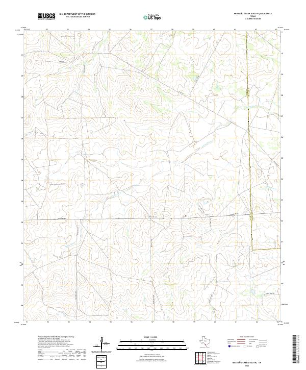
2022 Map of Mesteno Creek South
USGS Topo · Published 2022About this map
The boundary of Webb Co La Salle Co cuts through this South Texas landscape, defined by ephemeral watercourses and a network of ranching roads. The drainage of Jaboncillo Cr and Chucareto Cr creates a subtle topography across the brush country, where the land is largely shaped by large-scale landholdings. A system of managed routes, including Alamo Rd, Raices Rd, and Ranch Rd 863, facilitates movement between distant ranch properties. This survey provides a precise modern look at the rural infrastructure and physical geography in a region where water management and road access are central to the landscape's utility and organization.
Find a feature on this map
13 named features on this map. Tap any name to fly to it.
Don’t see what you’re looking for? This feature index may not catch every label — zoom into the map to look around manually.
Map Details
Editions of this 2022 Mesteno Creek South Map
This is the sole edition of this map. No revisions or reprints were ever made.
Other maps of this area

1929 · Cotulla
USGS Topo · 1:125,000

1940 · Velenzuela Creek
USGS Topo · 1:62,500

1953 · Crystal City
USGS Topo · 1:250,000

1955 · Crystal City
USGS Topo · 1:250,000

1956 · Las Tiendas
USGS Topo · 1:62,500

1956 · Webb
USGS Topo · 1:62,500

1956 · Laredo
USGS Topo · 1:250,000

1957 · Encinal
USGS Topo · 1:62,500

1961 · Crystal City
USGS Topo · 1:250,000

1965 · Spohn Ranch
USGS Topo · 1:24,000