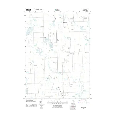
2011 Map of Metamora
USGS Topo · Published 2011About this map
Metamora and its surrounding countryside in Lapeer County are defined by a complex network of glacial kettle lakes and winding creeks. The village center, served by the Metamora Post Office, sits at a junction of local roads that lead past several small settlements including Farmers Creek and Thomas. The landscape is notably dotted with established burial grounds such as the Harris Cemetery and Schuneman Cemetery, which provide valuable location data for genealogists studying the area's early families.
Find a feature on this map
124 named features on this map. Tap any name to fly to it.
Don’t see what you’re looking for? This feature index may not catch every label — zoom into the map to look around manually.
Map Details
Editions of this 2011 Metamora Map
This is the sole edition of this map. No revisions or reprints were ever made.
Other maps of this area
1943 · Ortonville
USGS Topo · 1:24,000
1943 · Lake Orion
USGS Topo · 1:24,000
1943 · Oxford
USGS Topo · 1:24,000
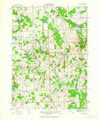
1943 · Metamora
USGS Topo · 1:24,000
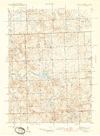
1945 · Thornville
USGS Topo · 1:24,000
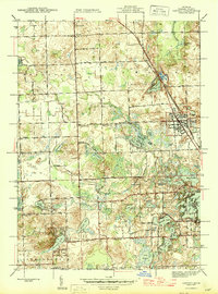
1945 · Oxford
USGS Topo · 1:24,000
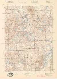
1945 · Ortonville
USGS Topo · 1:24,000
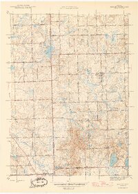
1945 · Hadley
USGS Topo · 1:24,000
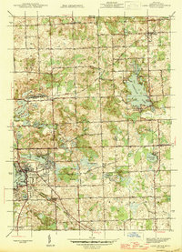
1945 · Lake Orion
USGS Topo · 1:24,000
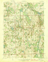
1946 · Metamora
USGS Topo · 1:24,000