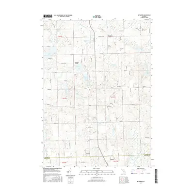
2017 Map of Metamora
USGS Topo · Published 2017About this map
Metamora serves as the central hub of this Lapeer County landscape, where the town's grid meets the surrounding glacial topography of southeastern Michigan. The map captures the area's intricate drainage systems, including the South Branch Flint River and the Andress Drain, which connect a dense network of water bodies such as Lake Metamora, Lake Minnewanna, and Merritt Lake. Higher elevations are marked by landmarks like Mt Christie near the southern border with Oakland County, providing a contrast to the marshy lowlands surrounding Wolf Lake and Mud Lake.
Find a feature on this map
82 named features on this map. Tap any name to fly to it.
Don’t see what you’re looking for? This feature index may not catch every label — zoom into the map to look around manually.
Map Details
Editions of this 2017 Metamora Map
This is the sole edition of this map. No revisions or reprints were ever made.
Other maps of this area

1943 · Ortonville
USGS Topo · 1:24,000

1943 · Lake Orion
USGS Topo · 1:24,000

1943 · Oxford
USGS Topo · 1:24,000

1943 · Metamora
USGS Topo · 1:24,000

1945 · Thornville
USGS Topo · 1:24,000

1945 · Oxford
USGS Topo · 1:24,000
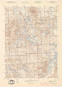
1945 · Ortonville
USGS Topo · 1:24,000

1945 · Hadley
USGS Topo · 1:24,000
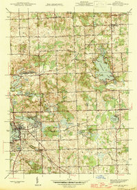
1945 · Lake Orion
USGS Topo · 1:24,000

1946 · Metamora
USGS Topo · 1:24,000