
1946 Map of Metamora
USGS Topo · Published 1946About this map
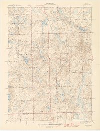
Glacial kettle lakes and rolling moraines characterize this portion of Lapeer County in the mid-1940s. The Michigan Central railroad serves as the primary corridor through the village of Metamora, connecting it to the smaller settlement of Thomas near the border with Oakland County. The landscape is dotted with small-scale rural infrastructure, including numerous family-named landmarks and local burial grounds like Schuneman Cem and Farmers Creek Cem.
Find a feature on this map
61 named features on this map. Tap any name to fly to it.
Don’t see what you’re looking for? This feature index may not catch every label — zoom into the map to look around manually.
Map Details
Editions of this 1946 Metamora Map
2 editions found
Other maps of this area

1943 · Ortonville
USGS Topo · 1:24,000

1943 · Lake Orion
USGS Topo · 1:24,000

1943 · Oxford
USGS Topo · 1:24,000

1943 · Metamora
USGS Topo · 1:24,000

1945 · Thornville
USGS Topo · 1:24,000

1945 · Oxford
USGS Topo · 1:24,000
1945 · Ortonville
USGS Topo · 1:24,000

1945 · Hadley
USGS Topo · 1:24,000
1945 · Lake Orion
USGS Topo · 1:24,000

1954 · Detroit
USGS Topo · 1:250,000
Featured Places
- Oxford Charter Township, MI
- Metamora, Metamora Township
- Brandon Charter Township, MI
- Hadley Township, MI
- Elba Township, MI