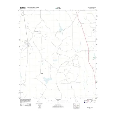
2011 Map of Metcalf
USGS Topo · Published 2011About this map
Metcalf serves as the primary settlement hub in this southern Georgia landscape, situated just north of the Florida state line. The surrounding countryside is defined by large land tracts and historical agricultural roots, evidenced by the prevalence of named plantation roads such as Milford Plantation Rd, Holly Hill Plantation, and Greenwood Plantation Rd. These estates are woven together by a network of drainage systems including Wards Creek and McKeever Slough, which feed into local impoundments like Mitchell Pond and Balfour Lake.
Find a feature on this map
46 named features on this map. Tap any name to fly to it.
Don’t see what you’re looking for? This feature index may not catch every label — zoom into the map to look around manually.
Map Details
Editions of this 2011 Metcalf Map
This is the sole edition of this map. No revisions or reprints were ever made.
Other maps of this area

1954 · Valdosta
USGS Topo · 1:250,000

1954 · Tallahassee
USGS Topo · 1:250,000

1956 · Monticello NE
USGS Topo · 1:24,000

1956 · Cairo
USGS Topo · 1:62,500

1956 · Metcalf
USGS Topo · 1:24,000

1957 · Miccosukee NE
USGS Topo · 1:24,000

1957 · Thomasville
USGS Topo · 1:62,500

1958 · Valdosta
USGS Topo · 1:250,000

1959 · Tallahassee
USGS Topo · 1:250,000

1959 · Valdosta
USGS Topo · 1:250,000