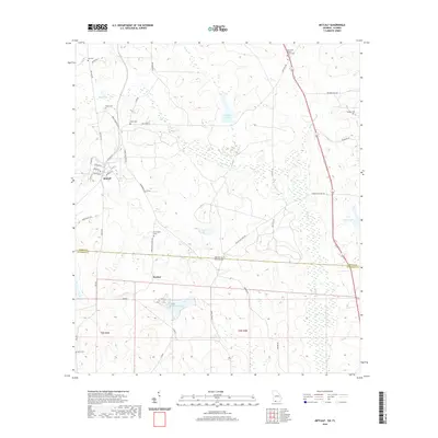
2020 Map of Metcalf
USGS Topo · Published 2020About this map
The borderlands of the Deep South are defined by the Georgia-Florida boundary, where the community of Metcalf serves as a small hub for the surrounding landscape of Thomas County. This 2020 survey illustrates a region shaped by agricultural legacies and family heritage, anchored by numerous burial grounds such as Hall Cem, Horne Cem, and Friendship Cem. The terrain is characterized by a complex network of wetlands and water bodies, including Mitchell Pond, Balfour Lake, and the winding McKeever Slough.
Find a feature on this map
47 named features on this map. Tap any name to fly to it.
Don’t see what you’re looking for? This feature index may not catch every label — zoom into the map to look around manually.
Map Details
Editions of this 2020 Metcalf Map
This is the sole edition of this map. No revisions or reprints were ever made.
Other maps of this area

1954 · Valdosta
USGS Topo · 1:250,000

1954 · Tallahassee
USGS Topo · 1:250,000

1956 · Monticello NE
USGS Topo · 1:24,000

1956 · Cairo
USGS Topo · 1:62,500

1956 · Metcalf
USGS Topo · 1:24,000

1957 · Miccosukee NE
USGS Topo · 1:24,000

1957 · Thomasville
USGS Topo · 1:62,500

1958 · Valdosta
USGS Topo · 1:250,000

1959 · Tallahassee
USGS Topo · 1:250,000

1959 · Valdosta
USGS Topo · 1:250,000