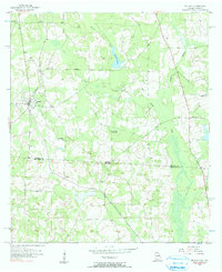
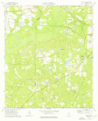
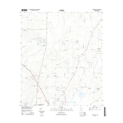
1956 Map of Metcalf
USGS Topo · Published 1991About this map
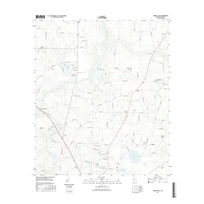
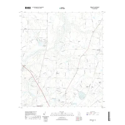
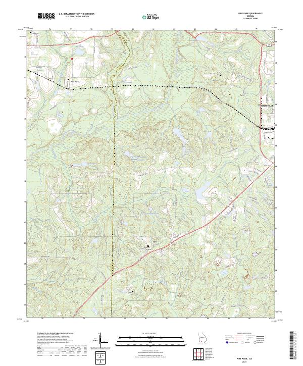
Atlantic Coast Line tracks dominate the transit landscape of this borderland, cutting through the community of Metcalf and southward into Florida. The survey captures a mid-century agricultural corridor where local life centered on small rural institutions. Family names and local history are preserved in markers like Hicks Cem and Horne Cem, while the educational transition of the era is evident at Magnolia Sch and the site of Galilee Sch (Abandoned). Crossing the state line between Thomas County and Jefferson County, the map tracks the subtle drainage patterns of Pine Creek and Wards Creek as they feed into Mitchell Pond. Small settlements like Fincher and rural congregations such as Glasgow Ch and Sanctum Ch reflect the dispersed social fabric of the Georgia-Florida line during the late 1950s.
Find a feature on this map
17 named features on this map. Tap any name to fly to it.
Don’t see what you’re looking for? This feature index may not catch every label — zoom into the map to look around manually.
Map Details
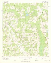
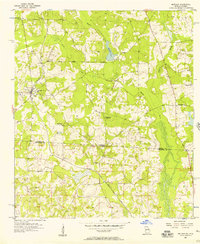
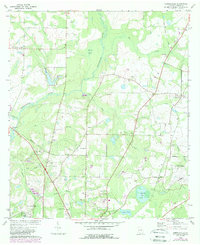
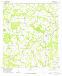
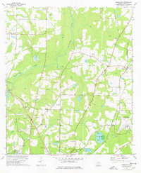
Editions of this 1956 Metcalf Map
3 editions found
Historical Maps of Metcalfe Through Time
31 maps found
1956 Metcalf
Thomas County, GA
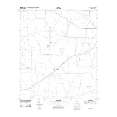
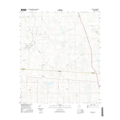
1957 Miccosukee NE
Thomas County, GA
1974 Pine Park
Thomas County, GA
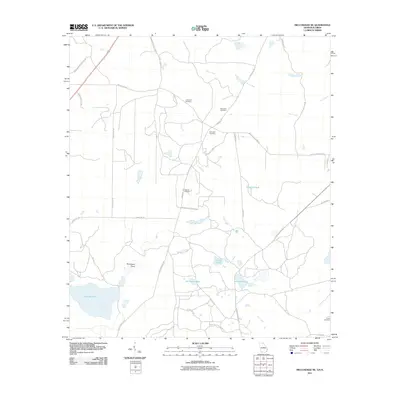
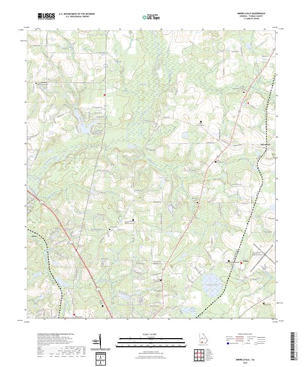
1975 Merrillville
Thomas County, GA
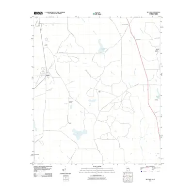
1977 Patten
Thomas County, GA
1978 Merrillville
Thomas County, GA
2011 Merrillville
Thomas County, GA
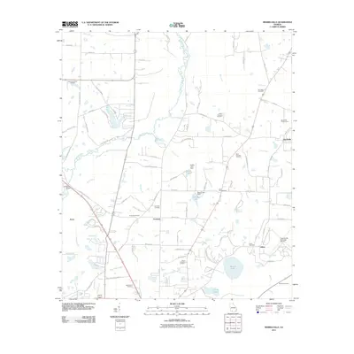
2011 Metcalf
Thomas County, GA
2011 Miccosukee NE
Thomas County, GA
2011 Patten
Thomas County, GA

2011 Pine Park
Thomas County, GA
2014 Merrillville
Thomas County, GA
2014 Metcalf
Thomas County, GA
2014 Miccosukee NE
Thomas County, GA

2014 Patten
Thomas County, GA
2014 Pine Park
Thomas County, GA
2017 Merrillville
Thomas County, GA
2017 Metcalf
Thomas County, GA
2017 Miccosukee NE
Thomas County, GA
2017 Patten
Thomas County, GA

2017 Pine Park
Thomas County, GA
2020 Merrillville
Thomas County, GA
2020 Metcalf
Thomas County, GA
2020 Miccosukee NE
Thomas County, GA

2020 Patten
Thomas County, GA
2020 Pine Park
Thomas County, GA
2024 Merrillville
Thomas County, GA
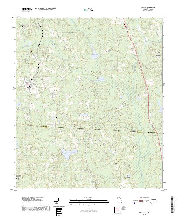
2024 Metcalf
Thomas County, GA
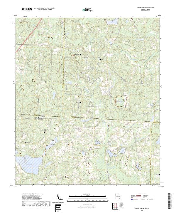
2024 Miccosukee NE
Thomas County, GA
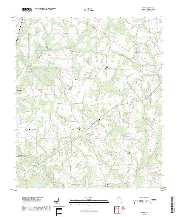
2024 Patten
Thomas County, GA
2024 Pine Park
Thomas County, GA