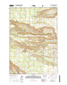
2014 Map of Metolius Bench
USGS Topo · Published 2014About this map
Tenino Bench and Metolius Bench define the elevated plateaus of this Jefferson County landscape, carved by the intricate drainage systems of Seekseequa Cr and the Metolius River. This 2014 survey captures a terrain dominated by remote forest service and BIA access roads, illustrating the modern management of the Deschutes National Forest. The presence of numerous water sources, such as Seekseequaville Spring, Peters Spring, and Beachcomb Spring, indicates the vital hydrology of these high benches.
Find a feature on this map
51 named features on this map. Tap any name to fly to it.
Don’t see what you’re looking for? This feature index may not catch every label — zoom into the map to look around manually.
Map Details
Editions of this 2014 Metolius Bench Map
This is the sole edition of this map. No revisions or reprints were ever made.
Other maps of this area

1927 · Mt. Jefferson
USGS Topo · 1:125,000

1928 · Madras
USGS Topo · 1:125,000

1930 · Mt. Jefferson
USGS Topo · 1:125,000

1931 · Madras
USGS Topo · 1:125,000

1955 · Bend
USGS Topo · 1:250,000

1957 · Bend
USGS Topo · 1:250,000

1958 · Bend
USGS Topo · 1:250,000

1961 · Whitewater River
USGS Topo · 1:62,500

1961 · Fort Butte
USGS Topo · 1:62,500

1962 · Metolius Bench
USGS Topo · 1:24,000