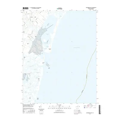
2016 Map of Metompkin Inlet
USGS Topo · Published 2016About this map
Pastoria sits at the inland edge of a complex network of coastal waterways and salt marshes along the Eastern Shore of Virginia. This maritime landscape is defined by its numerous necks and points, including Parker Neck, Joynes Neck, and Henrys Point, which extend into the tidal reaches of Metompkin Bay. The geography here is a intricate puzzle of guts and channels such as Knock Knees Gut and Warwick Channel, providing a detailed look at the hydrology of the Accomack County coastline.
Find a feature on this map
51 named features on this map. Tap any name to fly to it.
Don’t see what you’re looking for? This feature index may not catch every label — zoom into the map to look around manually.
Map Details
Editions of this 2016 Metompkin Inlet Map
This is the sole edition of this map. No revisions or reprints were ever made.
Other maps of this area

1931 · Accomac
USGS Topo · 1:48,000

1935 · Accomac
USGS Topo · 1:62,500

1942 · Mappsville
USGS Topo · 1:24,000

1942 · Wallops Island
USGS Topo · 1:24,000

1942 · Parksley
USGS Topo · 1:24,000

1943 · Parksley
USGS Topo · 1:31,680

1943 · Mappsville
USGS Topo · 1:31,680

1943 · Wallops Island
USGS Topo · 1:31,680

1946 · Eastville
USGS Topo · 1:250,000
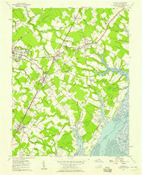
1957 · Accomac
USGS Topo · 1:24,000