2024 Map of Metter
USGS Topo · Published 2024About this map
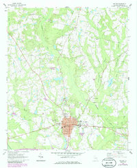
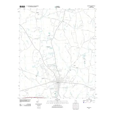
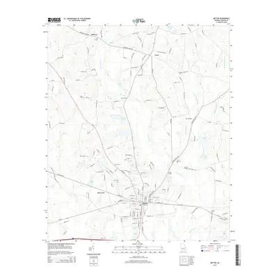
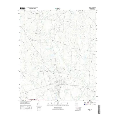
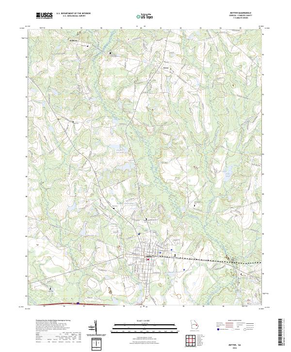
Metter serves as the focal point of this Candler County landscape, anchored by the Candler County Courthouse. The town's grid transitions into a network of rural roads and water bodies, reflecting a traditional South Georgia settlement pattern where community life revolves around local landmarks and drainage basins. Numerous family and community burial grounds, such as Oliff Cem and Thain Cem, are scattered across the terrain, offering significant primary data for genealogical research.
Find a feature on this map
151 named features on this map. Tap any name to fly to it.
Don’t see what you’re looking for? This feature index may not catch every label — zoom into the map to look around manually.
Map Details
Editions of this 2024 Metter Map
This is the sole edition of this map. No revisions or reprints were ever made.
Historical Maps of Metter Through Time
6 maps found