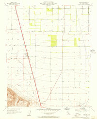
1955 Map of Mettler
USGS Topo · Published 1956About this map
Mettler serves as a central hub at the junction of several regional routes in this mid-century portrait of Kern County's agricultural and industrial landscape. The survey details an organized grid of ranch roads, including Sandrini Road, Valpredo Avenue, and Copus Road, supporting a valley floor dotted with reservoirs and wells. Evidence of the region's energy and mineral industry is visible in the Tejon Oil Field to the southeast and a Gravel Pit near the foothills.
Find a feature on this map
18 named features on this map. Tap any name to fly to it.
Don’t see what you’re looking for? This feature index may not catch every label — zoom into the map to look around manually.
Map Details
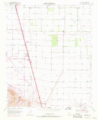
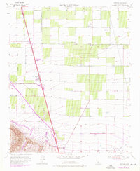
Editions of this 1955 Mettler Map
3 editions found
Other maps of this area

1903 · Mt. Pinos
USGS Topo · 1:125,000

1903 · Tejon
USGS Topo · 1:125,000

1910 · Buena Vista Lake
USGS Topo · 1:125,000

1912 · Buena Vista Lake
USGS Topo · 1:125,000

1914 · Caliente
USGS Topo · 1:125,000

1930 · Weed Patch
USGS Topo · 1:31,680

1930 · Arvin
USGS Topo · 1:31,680

1930 · Conner
USGS Topo · 1:31,680

1931 · West of Tejon Hills
USGS Topo · 1:31,680

1931 · Tejon Hills
USGS Topo · 1:31,680