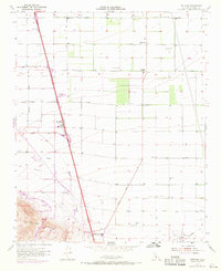
1955 Map of Mettler
USGS Topo · Published 1969About this map
The southern end of the San Joaquin Valley is defined by massive infrastructure and petroleum exploration on this 1955 survey, updated with 1968 revisions. The settlement of Mettler sits at a critical junction near the Wheeler Ridge foothills, where a small Landing Strip and local businesses served the heavy traffic of the Maricopa Highway. The landscape reflects a shift from local agriculture, evidenced by Meridian Sch and Sandrini Road, toward large-scale state water projects. A significant purple revision shows the California Aqueduct cutting through the terrain, including the site for the Wind Gap Pumping Plant. The map also captures the extent of the local energy economy, detailing the Wheeler Ridge Oil Field, the Tejon Oil Field, and the Tejon Hills Oil Field as they spread across the valley floor and rising slopes.
Find a feature on this map
23 named features on this map. Tap any name to fly to it.
Don’t see what you’re looking for? This feature index may not catch every label — zoom into the map to look around manually.
Map Details
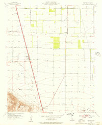
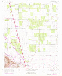
Editions of this 1955 Mettler Map
3 editions found
Other maps of this area

1903 · Mt. Pinos
USGS Topo · 1:125,000

1903 · Tejon
USGS Topo · 1:125,000

1910 · Buena Vista Lake
USGS Topo · 1:125,000

1912 · Buena Vista Lake
USGS Topo · 1:125,000

1914 · Caliente
USGS Topo · 1:125,000

1930 · Weed Patch
USGS Topo · 1:31,680

1930 · Arvin
USGS Topo · 1:31,680

1930 · Conner
USGS Topo · 1:31,680

1931 · West of Tejon Hills
USGS Topo · 1:31,680

1931 · Tejon Hills
USGS Topo · 1:31,680