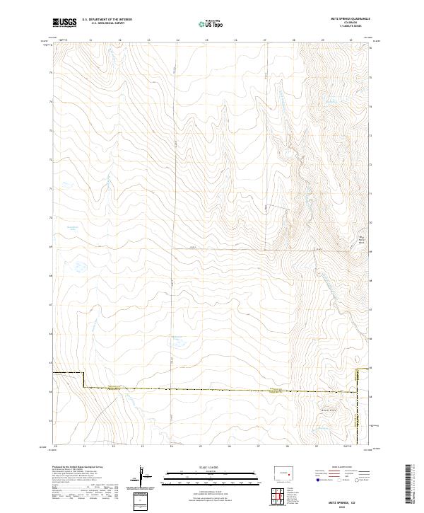
2022 Map of Metz Springs
USGS Topo · Published 2022About this map
Metz Springs and the surrounding high plains of southeastern Colorado define this landscape at the intersection of Lincoln, Crowley, and Kiowa counties. The area is characterized by intermittent watercourses and seasonal basins, including Roundtree Lake and Blakeman Lake, which are essential features in this arid ranching environment. Drainage patterns are dictated by the North Fork Mustang Creek and the southern reaches of Sand Arroyo, illustrating the subtle topography of the region.
Find a feature on this map
26 named features on this map. Tap any name to fly to it.
Don’t see what you’re looking for? This feature index may not catch every label — zoom into the map to look around manually.
Map Details
Editions of this 2022 Metz Springs Map
This is the sole edition of this map. No revisions or reprints were ever made.
Other maps of this area

1889 · Sanborn
USGS Topo · 1:125,000

1891 · Sanborn
USGS Topo · 1:125,000

1891 · Catlin
USGS Topo · 1:125,000

1891 · Arroyo
USGS Topo · 1:125,000

1891 · Las Animas
USGS Topo · 1:125,000

1893 · Arroyo
USGS Topo · 1:125,000

1893 · Sanborn
USGS Topo · 1:125,000

1893 · Las Animas
USGS Topo · 1:125,000

1893 · Catlin
USGS Topo · 1:125,000

1954 · Lamar
USGS Topo · 1:250,000