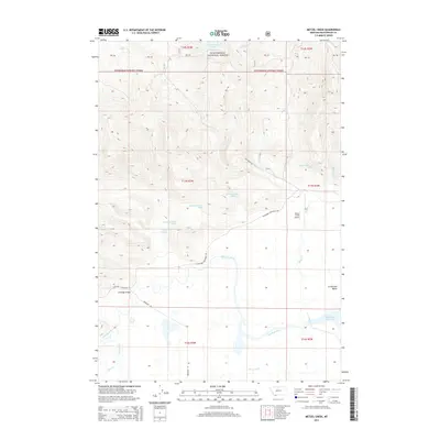
2014 Map of Metzel Creek
USGS Topo · Published 2014About this map
Beaverhead National Forest land meets the high-altitude hydrology of the Centennial Valley in this southwestern Montana landscape. The southern portion of the map is dominated by the Red Rock River, which feeds into the eastern edge of Lower Red Rock Lake, a critical part of the local wetland ecosystem. Transportation through this remote terrain is marked by essential crossings like Brundage Bridge and the small Metzel Creek Airport, which provides access to these isolated ranching and forest lands. Numerous named springs, including Lousy Springs and several numerically designated water sources, indicate the importance of groundwater for grazing and wildlife. The geography transitions from the forested peaks surrounding Fish Creek Lake in the north to the broad valley floor, where Fish Creek Rd and Northside Centennial Rd navigate the open plains.
Find a feature on this map
34 named features on this map. Tap any name to fly to it.
Don’t see what you’re looking for? This feature index may not catch every label — zoom into the map to look around manually.
Map Details
Editions of this 2014 Metzel Creek Map
This is the sole edition of this map. No revisions or reprints were ever made.
Other maps of this area

1950 · Lower Red Rock Lake
USGS Topo · 1:62,500

1950 · Monument Ridge
USGS Topo · 1:62,500

1955 · Dubois
USGS Topo · 1:250,000

1955 · Ashton
USGS Topo · 1:250,000

1958 · Dubois
USGS Topo · 1:250,000

1958 · Ashton
USGS Topo · 1:250,000

1960 · Ashton
USGS Topo · 1:250,000

1968 · Stonehouse Mountain
USGS Topo · 1:24,000

1968 · Big Table Mountain
USGS Topo · 1:24,000

1968 · Antelope Peak
USGS Topo · 1:24,000