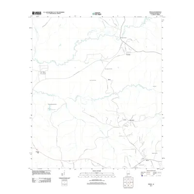
2011 Map of Mexia
USGS Topo · Published 2011About this map
Fountain and the surrounding rural communities of Monroe County are defined by a network of creeks and small family-named settlements in the early twenty-first century. This landscape is shaped by the winding courses of Big Flat Creek and Limestone Creek, with the Lena Landegger Hwy providing the primary corridor through the area. Local infrastructure is reflected in landmarks like the Hixon Lookout Tower and W Sam Carpenters Dam, which created the localized reservoir of W Sam Carpenters Lake.
Find a feature on this map
56 named features on this map. Tap any name to fly to it.
Don’t see what you’re looking for? This feature index may not catch every label — zoom into the map to look around manually.
Map Details
Editions of this 2011 Mexia Map
This is the sole edition of this map. No revisions or reprints were ever made.
Other maps of this area

1953 · Andalusia
USGS Topo · 1:250,000

1957 · Andalusia
USGS Topo · 1:250,000

1972 · Monroeville
USGS Topo · 1:24,000

1972 · Frisco City
USGS Topo · 1:24,000

1972 · Natchez
USGS Topo · 1:24,000

1972 · Franklin
USGS Topo · 1:24,000

1972 · Excel
USGS Topo · 1:24,000

1972 · Mexia
USGS Topo · 1:24,000

1972 · Flynns Lake
USGS Topo · 1:24,000

1972 · Claiborne
USGS Topo · 1:24,000