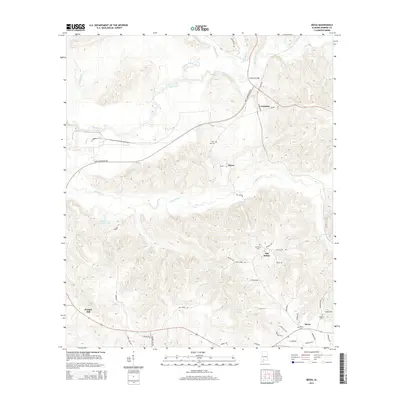
2014 Map of Mexia
USGS Topo · Published 2014About this map
Fountain and Mexia anchor this 2014 survey of Monroe County, showcasing a landscape defined by its creek systems and rural settlements. The topography is intricately carved by Big Flat Cr and Limestone Cr, with several small communities clustered along the winding road network. Genealogists and local historians can locate established burial grounds such as Carry Mt Cem, Old Salem Cem, and Mexia Cem, which offer physical links to the families of this region. The area around Old Salem and Hixon is characterized by its intersecting county routes like Old Salem Rd and Hixon Rd. Further south, Perdue Hill sits atop more elevated terrain. Distinctive water features like Mineral Springs and W Sam Carpenters Lake highlight the hydrology that has long influenced the local settlement pattern and land use in this part of Alabama.
Find a feature on this map
44 named features on this map. Tap any name to fly to it.
Don’t see what you’re looking for? This feature index may not catch every label — zoom into the map to look around manually.
Map Details
Editions of this 2014 Mexia Map
This is the sole edition of this map. No revisions or reprints were ever made.
Other maps of this area

1953 · Andalusia
USGS Topo · 1:250,000

1957 · Andalusia
USGS Topo · 1:250,000

1972 · Monroeville
USGS Topo · 1:24,000

1972 · Frisco City
USGS Topo · 1:24,000

1972 · Natchez
USGS Topo · 1:24,000

1972 · Franklin
USGS Topo · 1:24,000

1972 · Excel
USGS Topo · 1:24,000

1972 · Mexia
USGS Topo · 1:24,000

1972 · Flynns Lake
USGS Topo · 1:24,000

1972 · Claiborne
USGS Topo · 1:24,000