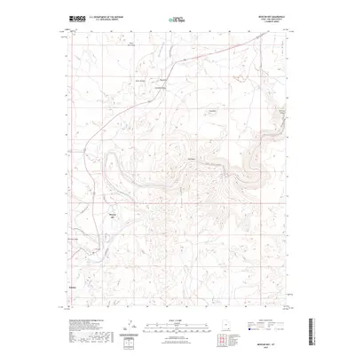
2023 Map of Mexican Hat
USGS Topo · Published 2023About this map
The San Juan River defines the landscape of this region, carving deep through the San Juan Canyon and creating dramatic geological formations like The Narrows. At the heart of the map, the small settlement of Mexican Hat sits near the river's edge, shadowed by the towering presence of Raplee Ridge to the east and the massive uplift of Lime Ridge to the north. These features illustrate the area's iconic red rock topography, where wind and water have shaped distinct landmarks such as Scotchman Butte and Flag Butte.
Find a feature on this map
27 named features on this map. Tap any name to fly to it.
Don’t see what you’re looking for? This feature index may not catch every label — zoom into the map to look around manually.
Map Details
Editions of this 2023 Mexican Hat Map
This is the sole edition of this map. No revisions or reprints were ever made.
Other maps of this area

1886 · Abajo
USGS Topo · 1:250,000

1892 · Abajo
USGS Topo · 1:250,000

1893 · Abajo
USGS Topo · 1:250,000

1952 · Bluff 3 SE
USGS Topo · 1:24,000
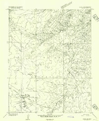
1952 · Bluff 3 SW
USGS Topo · 1:24,000

1956 · Cortez
USGS Topo · 1:250,000

1958 · Cortez
USGS Topo · 1:250,000

1959 · Cortez
USGS Topo · 1:250,000

1962 · Cortez
USGS Topo · 1:250,000

1962 · Bluff
USGS Topo · 1:62,500