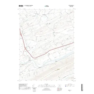
2019 Map of Mexico
USGS Topo · Published 2019About this map
The Juniata River corridor in Juniata County serves as the central artery for this landscape, which is defined by the sharp parallel ridges of Tuscarora Mtn and Moyer Ridge. Small settlements such as Mexico and Tuscarora anchor the riverbank, while the upland valleys are home to long-standing agrarian communities. The presence of the Pennsylvania Canal remains along the northern bank of the river, providing a physical link to the region's 19th-century transportation network.
Find a feature on this map
101 named features on this map. Tap any name to fly to it.
Don’t see what you’re looking for? This feature index may not catch every label — zoom into the map to look around manually.
Map Details
Editions of this 2019 Mexico Map
This is the sole edition of this map. No revisions or reprints were ever made.
Other maps of this area

1907 · New Bloomfield
USGS Topo · 1:62,500

1907 · Millerstown
USGS Topo · 1:62,500

1925 · Mifflintown
USGS Topo · 1:48,000

1930 · Loysville
USGS Topo · 1:62,500

1933 · Loysville
USGS Topo · 1:62,500

1934 · Mifflintown
USGS Topo · 1:62,500

1937 · Mifflintown
USGS Topo · 1:62,500

1943 · Millerstown
USGS Topo · 1:62,500

1943 · New Bloomfield
USGS Topo · 1:62,500

1950 · Harrisburg
USGS Topo · 1:250,000
Featured Places
- Tuscarora, Turbett Township
- Fayette Township, PA
- Turbett Township, PA
- Tuscarora Township, PA
- Vandyke, Walker Township