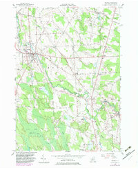
1956 Map of Mexico
USGS Topo · Published 1983About this map
The Little Salmon River meanders through the heart of this Central New York landscape, defining the rural character of the villages of Mexico and Parish. This mid-century survey reveals a patchwork of small agricultural settlements and crossroads like Maple View, Deweys Corners, and Graftons Square, connected by a dense network of family-named roads such as Shumaker Road and Tillipaugh Road. The presence of several distinct burial grounds, including the Quaker Cem and French Cem, speaks to the diverse early pioneer roots of Oswego County. Industrial history is etched into the terrain at Red Mill and Grays Millpond, where local waterways were harnessed for power. Further south, the expansive Lot Ten Swamp dominates the corner of Palermo, while the Conrail line provides a clear transit corridor through the eastern half of the quadrangle, linking the dairy and timber country to broader markets.
Find a feature on this map
81 named features on this map. Tap any name to fly to it.
Don’t see what you’re looking for? This feature index may not catch every label — zoom into the map to look around manually.
Map Details
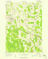
Editions of this 1956 Mexico Map
2 editions found
Other maps of this area

1895 · Pulaski
USGS Topo · 1:62,500

1900 · Fulton
USGS Topo · 1:62,500

1905 · Mexico
USGS Topo · 1:62,500

1943 · Pulaski
USGS Topo · 1:31,680

1943 · New Haven
USGS Topo · 1:31,680

1943 · Richland
USGS Topo · 1:31,680
1943 · Mallory
USGS Topo · 1:31,680

1943 · Texas
USGS Topo · 1:31,680

1943 · Mexico
USGS Topo · 1:31,680

1943 · Pennellville
USGS Topo · 1:31,680