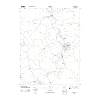
2010 Map of Meyersdale
USGS Topo · Published 2010About this map
The Casselman River carves a deep path through this section of Somerset County, dictating the development of numerous small settlements and coal-related sites. Meyersdale serves as a primary hub, with West Meyersdale and Salisbury Junction nearby, while smaller hamlets like Boynton, Coal Run, and Romania dot the valleys and hilltops. The industrial footprint is evident at Shaw Mines and along the various rail corridors that parallel the river's winding course.
Find a feature on this map
103 named features on this map. Tap any name to fly to it.
Don’t see what you’re looking for? This feature index may not catch every label — zoom into the map to look around manually.
Map Details
Editions of this 2010 Meyersdale Map
This is the sole edition of this map. No revisions or reprints were ever made.
Other maps of this area

1898 · Frostburg
USGS Topo · 1:62,500

1899 · Grantsville
USGS Topo · 1:62,500

1901 · Frostburg
USGS Topo · 1:62,500

1904 · Grantsville
USGS Topo · 1:62,500

1908 · Frostburg
USGS Topo · 1:62,500

1921 · Meyersdale
USGS Topo · 1:62,500

1923 · Berlin
USGS Topo · 1:48,000

1929 · Berlin
USGS Topo · 1:62,500

1939 · Meyersdale
USGS Topo · 1:62,500

1944 · Berlin
USGS Topo · 1:62,500