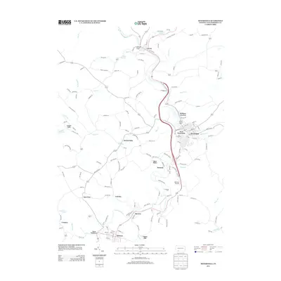
2013 Map of Meyersdale
USGS Topo · Published 2013About this map
The Casselman River winds through the heart of Somerset County, carving the Casselman Gorge near Garrett. This 2013 topographic survey captures a landscape defined by its industrial roots and dispersed mountain settlements. While Meyersdale and Salisbury serve as the primary population hubs, the map is dotted with smaller communities like Summit Mills, Romania, and Boynton. The inclusion of Shaw Mines and numerous local road names such as Coal Yard Rd and Coke Oven Rd point to the enduring legacy of the regional coal and timber economies.
Find a feature on this map
149 named features on this map. Tap any name to fly to it.
Don’t see what you’re looking for? This feature index may not catch every label — zoom into the map to look around manually.
Map Details
Editions of this 2013 Meyersdale Map
This is the sole edition of this map. No revisions or reprints were ever made.
Other maps of this area

1898 · Frostburg
USGS Topo · 1:62,500

1899 · Grantsville
USGS Topo · 1:62,500

1901 · Frostburg
USGS Topo · 1:62,500

1904 · Grantsville
USGS Topo · 1:62,500

1908 · Frostburg
USGS Topo · 1:62,500

1921 · Meyersdale
USGS Topo · 1:62,500

1923 · Berlin
USGS Topo · 1:48,000

1929 · Berlin
USGS Topo · 1:62,500

1939 · Meyersdale
USGS Topo · 1:62,500

1944 · Berlin
USGS Topo · 1:62,500