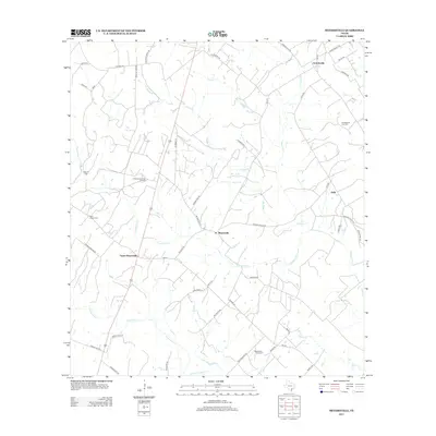
2013 Map of Meyersville
USGS Topo · Published 2013About this map
Meyersville and Upper Meyersville serve as central points in this South Texas landscape, where agricultural tradition meets modern energy extraction. The map reveals a dense network of country roads named for local families, such as Bade Rd, Gohmert Rd, and Duderstadt Rd, reflecting generations of land ownership. These routes traverse a terrain defined by numerous waterways, including the winding paths of Twelvemile Cr and Fifteenmile Cr.
Find a feature on this map
51 named features on this map. Tap any name to fly to it.
Don’t see what you’re looking for? This feature index may not catch every label — zoom into the map to look around manually.
Map Details
Editions of this 2013 Meyersville Map
This is the sole edition of this map. No revisions or reprints were ever made.
Other maps of this area

1953 · Beeville
USGS Topo · 1:250,000

1953 · Seguin
USGS Topo · 1:250,000

1956 · Beeville
USGS Topo · 1:250,000

1958 · Seguin
USGS Topo · 1:250,000

1960 · Beeville
USGS Topo · 1:250,000

1960 · Cuero
USGS Topo · 1:24,000

1960 · Blackwell Lake
USGS Topo · 1:24,000

1962 · Verhelle
USGS Topo · 1:24,000

1963 · Meyersville
USGS Topo · 1:24,000

1963 · Weesatche
USGS Topo · 1:24,000