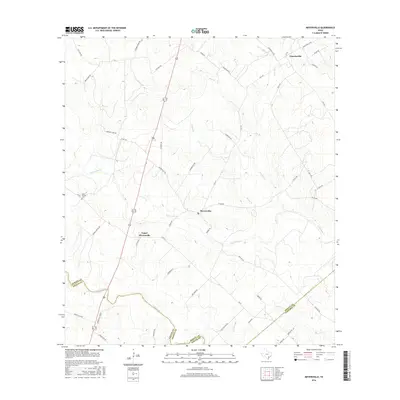
2016 Map of Meyersville
USGS Topo · Published 2016About this map
Meyersville and Upper Meyersville sit at the center of this rural landscape, situated along the winding paths of Twelvemile Cr and Fifteenmile Cr. The settlement pattern follows a network of farm-to-market roads and family-named routes such as Duderstadt Rd, Hausmann Rd, and Gohmert Rd, reflecting a long-established agricultural community near the border of DeWitt, Victoria, and Goliad counties.
Find a feature on this map
51 named features on this map. Tap any name to fly to it.
Don’t see what you’re looking for? This feature index may not catch every label — zoom into the map to look around manually.
Map Details
Editions of this 2016 Meyersville Map
This is the sole edition of this map. No revisions or reprints were ever made.
Other maps of this area

1953 · Beeville
USGS Topo · 1:250,000

1953 · Seguin
USGS Topo · 1:250,000

1956 · Beeville
USGS Topo · 1:250,000

1958 · Seguin
USGS Topo · 1:250,000

1960 · Beeville
USGS Topo · 1:250,000

1960 · Cuero
USGS Topo · 1:24,000

1960 · Blackwell Lake
USGS Topo · 1:24,000

1962 · Verhelle
USGS Topo · 1:24,000

1963 · Meyersville
USGS Topo · 1:24,000

1963 · Weesatche
USGS Topo · 1:24,000