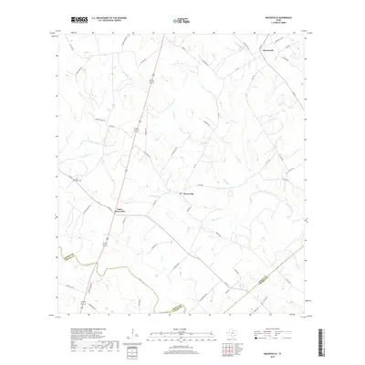
2019 Map of Meyersville
USGS Topo · Published 2019About this map
Meyersville and Upper Meyersville serve as the primary hubs in this rural DeWitt County landscape, situated where the creeks of the Guadalupe River basin dissect the coastal plains. The settlement pattern is defined by family-named roads like Mueller Lang Rd and Duderstadt Rd, reflecting the heritage of the German-Texan farming communities that established themselves here in the 19th century. Near the western edge of the survey, the Saint Joseph Cem remains a significant genealogical landmark, while the crossing of FM 237 and Meyersville Rd anchors the local infrastructure.
Find a feature on this map
50 named features on this map. Tap any name to fly to it.
Don’t see what you’re looking for? This feature index may not catch every label — zoom into the map to look around manually.
Map Details
Editions of this 2019 Meyersville Map
This is the sole edition of this map. No revisions or reprints were ever made.
Other maps of this area

1953 · Beeville
USGS Topo · 1:250,000

1953 · Seguin
USGS Topo · 1:250,000

1956 · Beeville
USGS Topo · 1:250,000

1958 · Seguin
USGS Topo · 1:250,000

1960 · Beeville
USGS Topo · 1:250,000

1960 · Cuero
USGS Topo · 1:24,000

1960 · Blackwell Lake
USGS Topo · 1:24,000

1962 · Verhelle
USGS Topo · 1:24,000

1963 · Meyersville
USGS Topo · 1:24,000

1963 · Weesatche
USGS Topo · 1:24,000