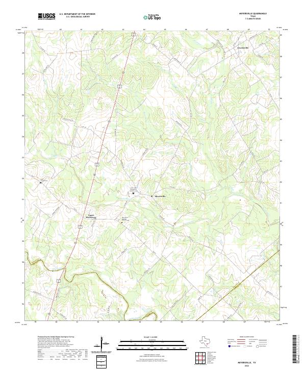
2022 Map of Meyersville
USGS Topo · Published 2022About this map
Meyersville and Upper Meyersville serve as central nodes for this rural DeWitt County landscape, where family heritage is anchored by several prominent religious sites. The Saint John Evangelical Lutheran Cem and Saint Peter and Paul Catholic Cem sit near the center of the sheet, while Saint Josephs Cem is located further west along FM 237. These cemeteries and their associated communities are clustered near the winding course of Twelvemile Cr.
Find a feature on this map
52 named features on this map. Tap any name to fly to it.
Don’t see what you’re looking for? This feature index may not catch every label — zoom into the map to look around manually.
Map Details
Editions of this 2022 Meyersville Map
This is the sole edition of this map. No revisions or reprints were ever made.
Other maps of this area

1953 · Beeville
USGS Topo · 1:250,000

1953 · Seguin
USGS Topo · 1:250,000

1956 · Beeville
USGS Topo · 1:250,000

1958 · Seguin
USGS Topo · 1:250,000

1960 · Beeville
USGS Topo · 1:250,000

1960 · Cuero
USGS Topo · 1:24,000

1960 · Blackwell Lake
USGS Topo · 1:24,000

1962 · Verhelle
USGS Topo · 1:24,000

1963 · Meyersville
USGS Topo · 1:24,000

1963 · Weesatche
USGS Topo · 1:24,000