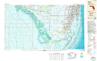
1988 Map of Miami
USGS Topo · Published 1988About this map
Everglades National Park and the sprawling Big Cypress National Preserve dominate the western half of this South Florida region, illustrating a landscape of sawgrass, mangroves, and intricate waterways. This late-1980s bathymetric-topographic study details the transition from the dense urban corridor of Hialeah, North Miami, and Miami Shores into the vast wetlands. Along the coast, the map traces the Tamiami Trail westward through small outposts like Ochopee and Everglades.
Find a feature on this map
73 named features on this map. Tap any name to fly to it.
Don’t see what you’re looking for? This feature index may not catch every label — zoom into the map to look around manually.
Map Details
Editions of this 1988 Miami Map
This is the sole edition of this map. No revisions or reprints were ever made.
Other maps of this area
1947 · North Miami
USGS Topo · 1:24,000
1947 · Key Biscayne
USGS Topo · 1:24,000
1947 · Garden Cove
USGS Topo · 1:24,000
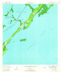
1947 · Rock Harbor
USGS Topo · 1:24,000
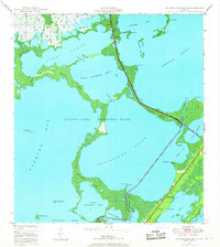
1947 · Blackwater Sound
USGS Topo · 1:24,000
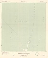
1948 · Soldier Key
USGS Topo · 1:24,000
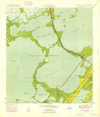
1949 · Blackwater Sound
USGS Topo · 1:24,000
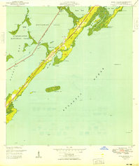
1949 · Rock Harbor
USGS Topo · 1:24,000
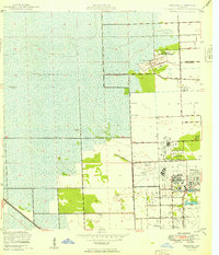
1949 · Opalocka
USGS Topo · 1:24,000
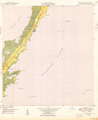
1949 · Garden Cove
USGS Topo · 1:24,000