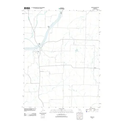
2012 Map of Miami
USGS Topo · Published 2012About this map
Miami sits prominently on the southern bank of a sweeping bend in the Missouri River, serving as a central hub for this portion of Saline County. The river's influence is evident in the surrounding landscape, defined by distinct meanders including Lower Miami Bend, Middle Miami Bend, and Upper Miami Bend. These geographic features are complemented by a complex system of waterways like Wakenda Chute and Wakenda Creek that drain the fertile river valley north of the main channel.
Find a feature on this map
37 named features on this map. Tap any name to fly to it.
Don’t see what you’re looking for? This feature index may not catch every label — zoom into the map to look around manually.
Map Details
Editions of this 2012 Miami Map
This is the sole edition of this map. No revisions or reprints were ever made.
Other maps of this area

1890 · Marshall
USGS Topo · 1:125,000

1892 · Marshall
USGS Topo · 1:125,000

1901 · Marshall
USGS Topo · 1:125,000

1940 · Marshall
USGS Topo · 1:62,500

1944 · Marshall
USGS Topo · 1:62,500

1951 · Bosworth
USGS Topo · 1:24,000

1951 · Miami
USGS Topo · 1:24,000

1951 · Brunswick West
USGS Topo · 1:24,000

1951 · Miami Station
USGS Topo · 1:24,000

1951 · Brunswick East
USGS Topo · 1:24,000