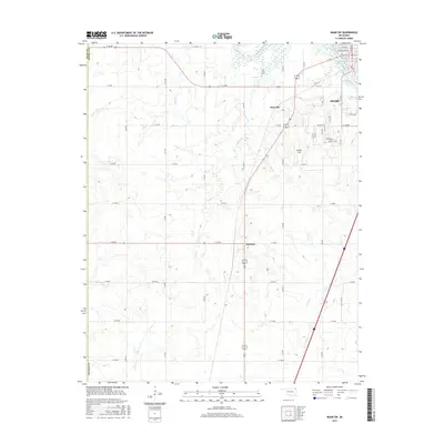
2016 Map of Miami SW
USGS Topo · Published 2016About this map
Miami and its southwestern outskirts are defined by the convergence of the Neosho River and the northern reaches of the Grand Lake of the Cherokees. The landscape transitions from the urban grid of the county seat into a rural expanse marked by a precise network of sectional roads and the legacy of the Mother Road. Small settlements like Narcissa and Dotyville anchor the surrounding farmland, while local history is preserved at the Coal Creek Cem. The drainage patterns of Windy Cr, Coal Creek, and Hudson Cr carve through the prairie, illustrating the natural watercourses that feed into the larger river system. To the south of the city, the Old 66 Strip and Sunset Strip signify the mid-century highway era that shaped the development of this corner of Ottawa County.
Find a feature on this map
51 named features on this map. Tap any name to fly to it.
Don’t see what you’re looking for? This feature index may not catch every label — zoom into the map to look around manually.
Map Details
Editions of this 2016 Miami SW Map
This is the sole edition of this map. No revisions or reprints were ever made.
Other maps of this area

1901 · Vinita
USGS Topo · 1:125,000

1907 · Wyandotte
USGS Topo · 1:125,000

1909 · Wyandotte
USGS Topo · 1:125,000

1913 · Vinita
USGS Topo · 1:125,000

1954 · Tulsa
USGS Topo · 1:250,000

1958 · Tulsa
USGS Topo · 1:250,000

1961 · Miami SE
USGS Topo · 1:24,000
1961 · Miami NW
USGS Topo · 1:24,000

1961 · Miami SW
USGS Topo · 1:24,000
1961 · Picher
USGS Topo · 1:24,000