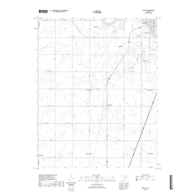
2018 Map of Miami SW
USGS Topo · Published 2018About this map
Miami sits at the northern edge of this landscape, where the Neosho River flows near a dense network of local streets like 1st Ave SW and 2nd Ave SW. This area of Ottawa County is defined by a rhythmic grid of rural roads and the meandering courses of numerous prairie streams, including Windy Creek, Wolf Creek, and Hudson Creek. The small community of Narcissa serves as a central landmark, while Dotyville and the Coal Creek Cem provide important reference points for genealogists and local historians tracing family roots in this corner of Oklahoma. The transition from the urban fringes of Miami to the open township and range sections reveals a landscape largely shaped by agriculture and water drainage, with notable features like the curiously named Sunset Strip adding unique local character to the road system.
Find a feature on this map
57 named features on this map. Tap any name to fly to it.
Don’t see what you’re looking for? This feature index may not catch every label — zoom into the map to look around manually.
Map Details
Editions of this 2018 Miami SW Map
This is the sole edition of this map. No revisions or reprints were ever made.
Other maps of this area

1901 · Vinita
USGS Topo · 1:125,000

1907 · Wyandotte
USGS Topo · 1:125,000

1909 · Wyandotte
USGS Topo · 1:125,000

1913 · Vinita
USGS Topo · 1:125,000

1954 · Tulsa
USGS Topo · 1:250,000

1958 · Tulsa
USGS Topo · 1:250,000

1961 · Miami SE
USGS Topo · 1:24,000
1961 · Miami NW
USGS Topo · 1:24,000

1961 · Miami SW
USGS Topo · 1:24,000
1961 · Picher
USGS Topo · 1:24,000