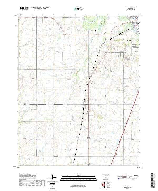
2022 Map of Miami SW
USGS Topo · Published 2022About this map
Ottawa County Courthouse stands as a central landmark in the city of Miami, Oklahoma, anchoring the northeastern corner of this survey. The landscape transitions from the urban grid of Miami, including residential corridors like Sunset Strip and 23rd Ave SW, into the rural expanse of southwestern Ottawa County. The Neosho River meanders across the northern boundary, fed by several local drainages including Coal Creek and Windy Cr.
Find a feature on this map
36 named features on this map. Tap any name to fly to it.
Don’t see what you’re looking for? This feature index may not catch every label — zoom into the map to look around manually.
Map Details
Editions of this 2022 Miami SW Map
This is the sole edition of this map. No revisions or reprints were ever made.
Other maps of this area

1901 · Vinita
USGS Topo · 1:125,000

1907 · Wyandotte
USGS Topo · 1:125,000

1909 · Wyandotte
USGS Topo · 1:125,000

1913 · Vinita
USGS Topo · 1:125,000

1954 · Tulsa
USGS Topo · 1:250,000

1958 · Tulsa
USGS Topo · 1:250,000

1961 · Miami SE
USGS Topo · 1:24,000
1961 · Miami NW
USGS Topo · 1:24,000

1961 · Miami SW
USGS Topo · 1:24,000
1961 · Picher
USGS Topo · 1:24,000