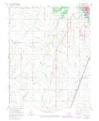
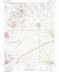
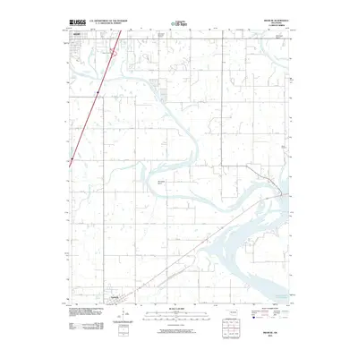
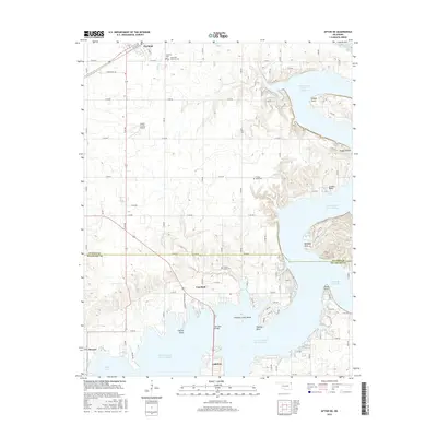
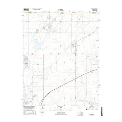
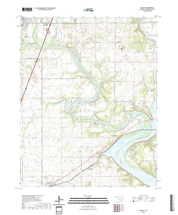
1961 Map of Miami SW
USGS Topo · Published 1982About this map
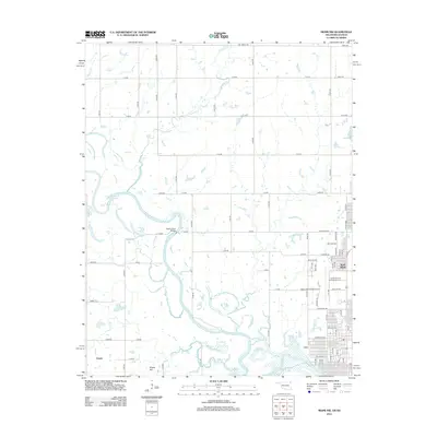
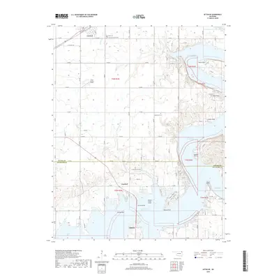
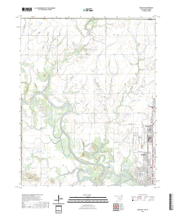
Lake O' the Cherokees dominates the upper corner of this survey, created by the impoundment of the Neosho River. The landscape reveals a mix of prairie agriculture and tribal history, marked by the Ottawa Indian Reservation Bdy and settlements like Narcissa and Dotyville. Transportation infrastructure defines the region's development, with the Burlington Northern railroad running parallel to the modern Will Rogers Toll Road. This 1961 field-checked map, later revised in 1980, captures a rural community anchored by local institutions such as the Mound Valley Ch, Lincoln Sch, and Coal Creek Cem. Notable mid-century landmarks, including a Drive-in Theater and a Radio Tower, stand alongside the various creeks like Mound Valley Creek and Wolf Creek that drain into the Neosho watershed.
Find a feature on this map
28 named features on this map. Tap any name to fly to it.
Don’t see what you’re looking for? This feature index may not catch every label — zoom into the map to look around manually.
Map Details
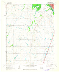
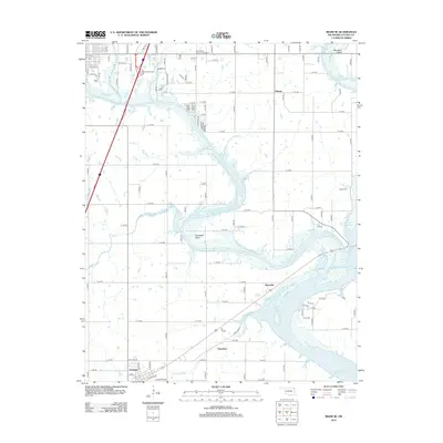
Editions of this 1961 Miami SW Map
2 editions found
Historical Maps of Miami Through Time
30 maps found
1961 Miami NW
Ottawa County, OK
1961 Miami SE
Ottawa County, OK
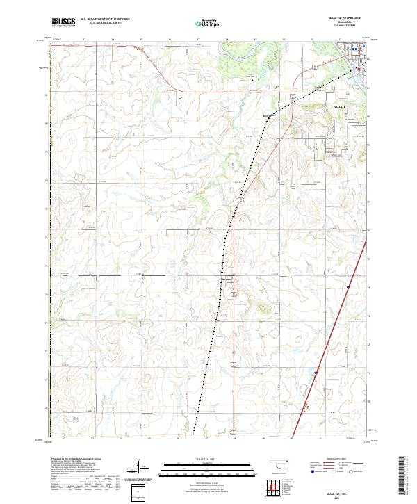
1961 Miami SW
Ottawa County, OK
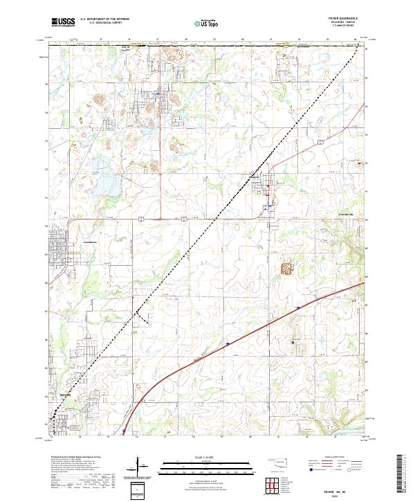
1961 Picher
Ottawa County, OK
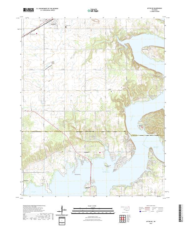
1971 Afton NE
Ottawa County, OK
2010 Afton NE
Ottawa County, OK
2010 Miami NW
Ottawa County, OK
2010 Miami SE
Ottawa County, OK
2010 Miami SW
Ottawa County, OK
2010 Picher
Ottawa County, OK
2012 Afton NE
Ottawa County, OK
2012 Miami NW
Ottawa County, OK
2012 Miami SE
Ottawa County, OK
2012 Miami SW
Ottawa County, OK
2012 Picher
Ottawa County, OK
2016 Afton NE
Ottawa County, OK
2016 Miami NW
Ottawa County, OK
2016 Miami SE
Ottawa County, OK
2016 Miami SW
Ottawa County, OK
2016 Picher
Ottawa County, OK
2018 Afton NE
Ottawa County, OK
2018 Miami NW
Ottawa County, OK
2018 Miami SE
Ottawa County, OK
2018 Miami SW
Ottawa County, OK
2018 Picher
Ottawa County, OK
2022 Afton NE
Ottawa County, OK
2022 Miami SE
Ottawa County, OK
2022 Miami SW
Ottawa County, OK
2022 Picher
Ottawa County, OK
2023 Miami NW
Ottawa County, OK