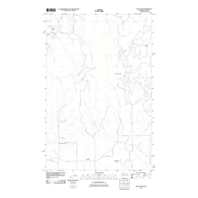
2011 Map of Mica Peak
USGS Topo · Published 2011About this map
Mica Peak and the surrounding highlands of Spokane County define this landscape, where the headwaters of numerous creeks descend toward the valley floor. The area maintains a rural character dominated by topographical landmarks and water management features like Dosser Reservoir and the Dosser Reservoir Dam. For genealogists and local historians, the presence of the Mica Peak Cemetery and Mica Creek Cemetery provides specific points of interest for family research. The drainage patterns of Quinnamose Creek, Saltese Creek, and Bozard Creek illustrate the hydraulic network of this border region near the Washington-Idaho line. The road network, including Tower Mountain Rd and S Molter Rd, winds through the terrain to connect these remote summits and small-scale water works like Deruwe Dam.
Find a feature on this map
44 named features on this map. Tap any name to fly to it.
Don’t see what you’re looking for? This feature index may not catch every label — zoom into the map to look around manually.
Map Details
Editions of this 2011 Mica Peak Map
This is the sole edition of this map. No revisions or reprints were ever made.
Other maps of this area

1901 · Spokane
USGS Topo · 1:125,000

1903 · Oakesdale
USGS Topo · 1:125,000

1903 · Rathdrum
USGS Topo · 1:125,000

1905 · Oakesdale
USGS Topo · 1:125,000

1949 · Greenacres
USGS Topo · 1:62,500

1951 · Greenacres
USGS Topo · 1:62,500

1954 · Fairfield
USGS Topo · 1:62,500

1955 · Spokane
USGS Topo · 1:250,000

1957 · Plummer
USGS Topo · 1:62,500

1957 · Coeur D'Alene
USGS Topo · 1:62,500