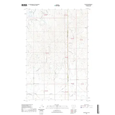
2020 Map of Mica Peak
USGS Topo · Published 2020About this map
Mica Peak dominates the center of this terrain where the border of Washington and Idaho meets, defining a landscape of high summits and deeply cut drainages. In the northwest, Saltese Flats and the Dosser Reservoir represent the lower, more level grounds near the sprawling network of roads including S Molter Rd and S Henry Rd. For those researching local history or family lineage, the map identifies two specific burial sites: Mica Creek Cem near the intersection of S Harvard Rd and E Stoughton Rd, and Mica Peak Cem further south. The drainage patterns are clearly marked by Saltese Cr, Quinnamose Cr, and California Cr, while the eastern portion across the state line into Kootenai Co shows the higher elevations of Cable Peak and the flow of Bozard Cr.
Find a feature on this map
54 named features on this map. Tap any name to fly to it.
Don’t see what you’re looking for? This feature index may not catch every label — zoom into the map to look around manually.
Map Details
Editions of this 2020 Mica Peak Map
This is the sole edition of this map. No revisions or reprints were ever made.
Other maps of this area

1901 · Spokane
USGS Topo · 1:125,000

1903 · Oakesdale
USGS Topo · 1:125,000

1903 · Rathdrum
USGS Topo · 1:125,000

1905 · Oakesdale
USGS Topo · 1:125,000

1949 · Greenacres
USGS Topo · 1:62,500

1951 · Greenacres
USGS Topo · 1:62,500

1954 · Fairfield
USGS Topo · 1:62,500

1955 · Spokane
USGS Topo · 1:250,000

1957 · Plummer
USGS Topo · 1:62,500

1957 · Coeur D'Alene
USGS Topo · 1:62,500