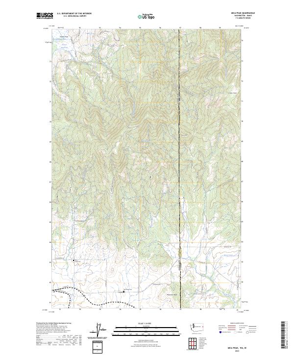
2023 Map of Mica Peak
USGS Topo · Published 2023About this map
Saltese Flats and the surrounding drainages of the Saltese Creek watershed define this high-altitude borderland between Washington and Idaho. The terrain is marked by significant peaks, including Cable Peak and Round Mtn, while the southern reaches descend toward the small community of Mica. This 2023 survey provides a clear look at the intricate local road network, such as Micah Peak Radar Site Rd, which threads through the high country to connect remote locations.
Find a feature on this map
57 named features on this map. Tap any name to fly to it.
Don’t see what you’re looking for? This feature index may not catch every label — zoom into the map to look around manually.
Map Details
Editions of this 2023 Mica Peak Map
This is the sole edition of this map. No revisions or reprints were ever made.
Other maps of this area

1901 · Spokane
USGS Topo · 1:125,000

1903 · Oakesdale
USGS Topo · 1:125,000

1903 · Rathdrum
USGS Topo · 1:125,000

1905 · Oakesdale
USGS Topo · 1:125,000

1949 · Greenacres
USGS Topo · 1:62,500

1951 · Greenacres
USGS Topo · 1:62,500

1954 · Fairfield
USGS Topo · 1:62,500

1955 · Spokane
USGS Topo · 1:250,000

1957 · Plummer
USGS Topo · 1:62,500

1957 · Coeur D'Alene
USGS Topo · 1:62,500