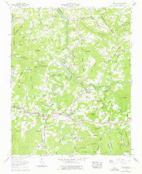
1960 Map of Micaville
USGS Topo · Published 1976About this map
The South Toe River and North Toe River carve through this complex landscape on the boundary of Mitchell and Yancey counties. This area is defined by its deep mining roots and dispersed mountain settlements during the mid-twentieth century. Industrial activity is prominent along the Clinchfield RR, with numerous strip mines and open pit mines dotting the terrain near Micaville and Newdale. The presence of the Sink Hole Mine and Hootowl Mine underscores the region's mineral heritage, while the Blue Ridge Parkway skirts the southern edge, representing the growth of mountain tourism. Local genealogy is anchored by family-named landmarks and remote places of worship like Silver Chapel, Rebels Creek Ch, and the Big Crabtree Church. The network of small cemeteries, including Wyatt Cem and Spruce Pine 3, alongside named peaks like Thunderstruck Knob and Wilson Knob, provides a clear view of the established communities tucked between Brush Creek Mountain and Snow Creek Ridge.
Find a feature on this map
108 named features on this map. Tap any name to fly to it.
Don’t see what you’re looking for? This feature index may not catch every label — zoom into the map to look around manually.
Map Details
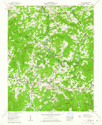
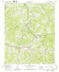
Editions of this 1960 Micaville Map
Other maps of this area

1891 · Roan Mountain
USGS Topo · 1:125,000

1894 · Roan Mountain
USGS Topo · 1:125,000

1900 · Mount Mitchell
USGS Topo · 1:125,000

1902 · Mount Mitchell
USGS Topo · 1:125,000

1904 · Roan Mountain
USGS Topo · 1:125,000

1934 · Micaville
USGS Topo · 1:24,000

1934 · Spruce Pine
USGS Topo · 1:24,000

1934 · Parts Of Celo And Black Brothers
USGS Topo · 1:24,000

1934 · Bakersville
USGS Topo · 1:24,000
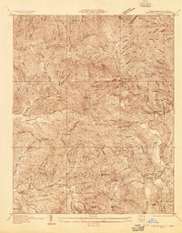
1934 · Carvers Gap
USGS Topo · 1:24,000