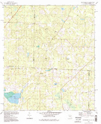
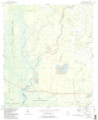
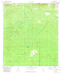
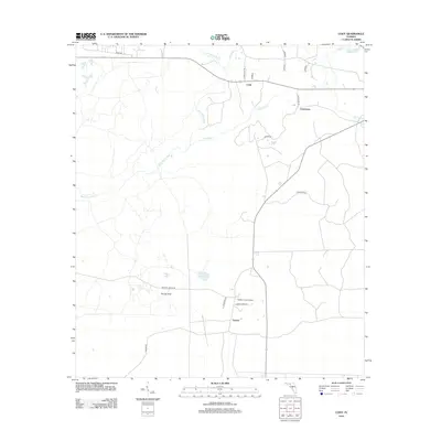
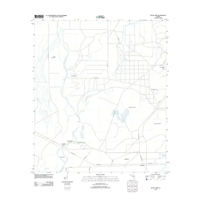
1994 Map of Miccosukee NE
USGS Topo · Published 1998About this map
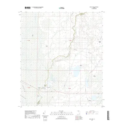
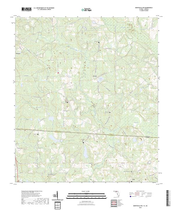
The Georgia Florida state line bisects this landscape, where the northern red-clay hills of Georgia's Grady and Thomas counties meet the panhandle of Florida. A network of rural country churches and family cemeteries serves the small community at Sunny Hill, including Spring Hill Ch, Antioch Ch, and the Copeland Cem. The terrain is characterized by numerous enclosed basins and sinkhole ponds such as Original Pond, Murray Pond, and the significant waters of Foshalee Lake.
Find a feature on this map
28 named features on this map. Tap any name to fly to it.
Don’t see what you’re looking for? This feature index may not catch every label — zoom into the map to look around manually.
Map Details
Editions of this 1994 Miccosukee NE Map
This is the sole edition of this map. No revisions or reprints were ever made.
Historical Maps of Leon County Through Time
56 maps found
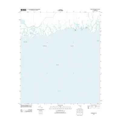
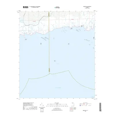
1954 Cobb Rocks
Jefferson County, FL
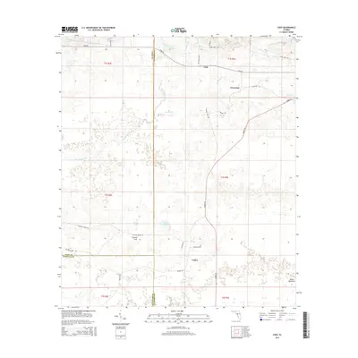
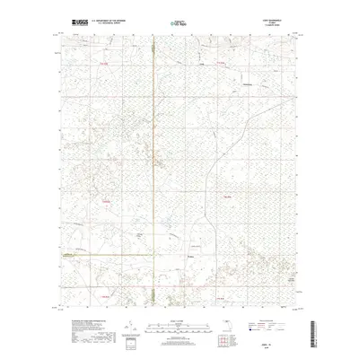
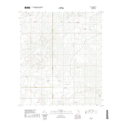
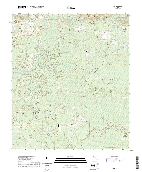
1954 Cody
Jefferson County, FL
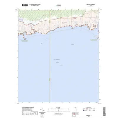
1954 St Marks NE
Jefferson County, FL

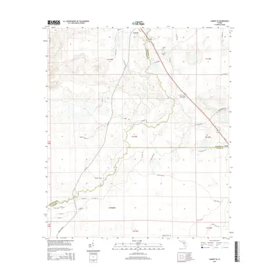
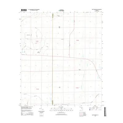
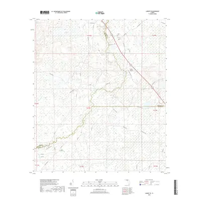
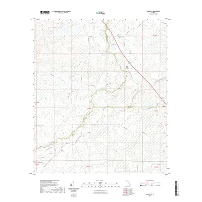
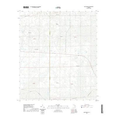
1955 Lamont SE
Jefferson County, FL
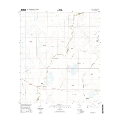
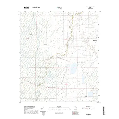
1955 Nutall Rise
Jefferson County, FL
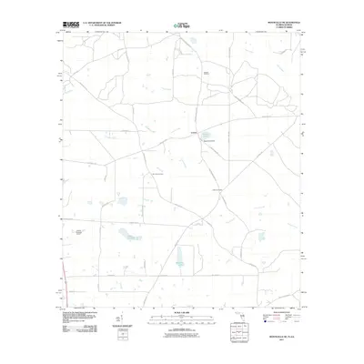
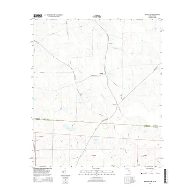
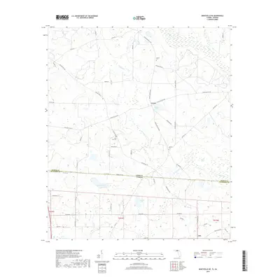
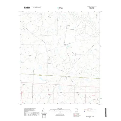
1956 Monticello NE
Jefferson County, FL
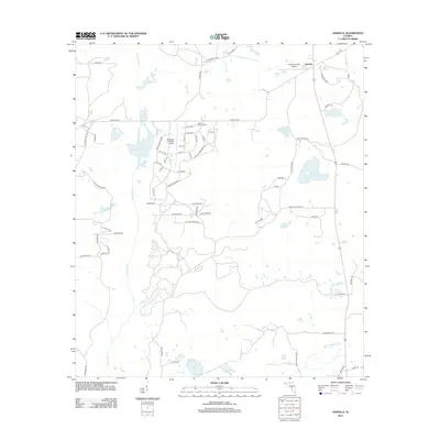
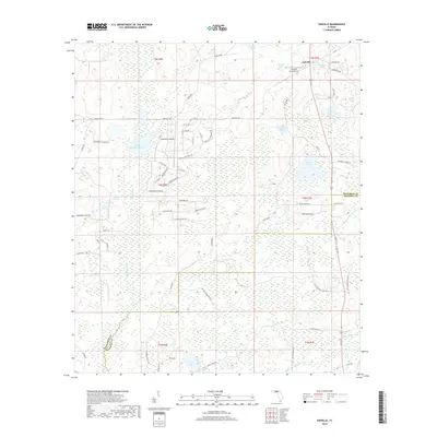
1962 Ashville
Jefferson County, FL
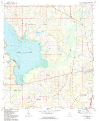
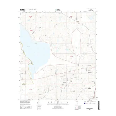
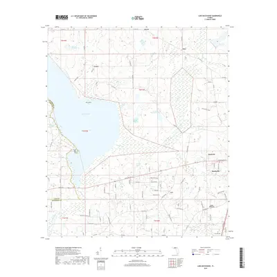
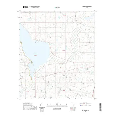
1963 Lake Miccosukee
Jefferson County, FL
1981 Cody
Jefferson County, FL
1982 Cobb Rocks
Jefferson County, FL
1982 Miccosukee NE
Jefferson County, FL
1982 St. Marks NE
Jefferson County, FL
1994 Cobb Rocks
Jefferson County, FL
1994 Miccosukee NE
Jefferson County, FL
2011 Monticello NE
Jefferson County, FL
2012 Ashville
Jefferson County, FL
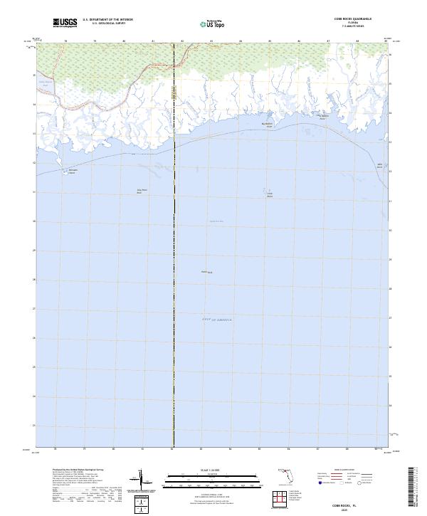
2012 Cobb Rocks
Jefferson County, FL
2012 Cody
Jefferson County, FL
2012 Lake Miccosukee
Jefferson County, FL
2012 Lamont SE
Jefferson County, FL
2012 Monticello NE
Jefferson County, FL
2012 Nutall Rise
Jefferson County, FL
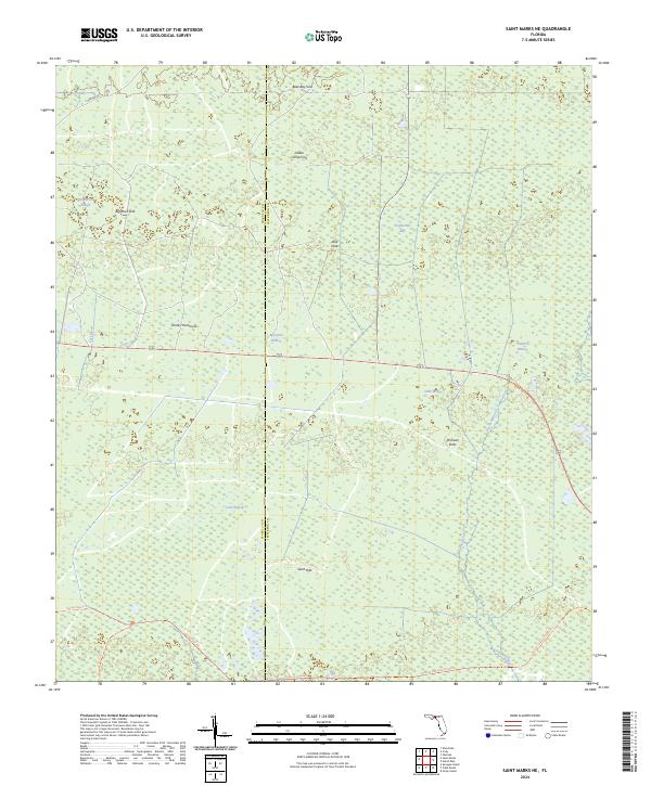
2012 Saint Marks NE
Jefferson County, FL
2015 Ashville
Jefferson County, FL
2015 Cobb Rocks
Jefferson County, FL
2015 Cody
Jefferson County, FL
2015 Lake Miccosukee
Jefferson County, FL
2015 Lamont SE
Jefferson County, FL
2015 Monticello NE
Jefferson County, FL
2015 Nutall Rise
Jefferson County, FL
2015 Saint Marks NE
Jefferson County, FL
2018 Ashville
Jefferson County, FL
2018 Cobb Rocks
Jefferson County, FL
2018 Cody
Jefferson County, FL
2018 Lake Miccosukee
Jefferson County, FL
2018 Lamont SE
Jefferson County, FL
2018 Monticello NE
Jefferson County, FL
2018 Nutall Rise
Jefferson County, FL
2018 Saint Marks NE
Jefferson County, FL
2021 Ashville
Jefferson County, FL
2021 Cobb Rocks
Jefferson County, FL
2021 Cody
Jefferson County, FL
2021 Lake Miccosukee
Jefferson County, FL
2021 Lamont SE
Jefferson County, FL
2021 Monticello NE
Jefferson County, FL
2021 Nutall Rise
Jefferson County, FL
2021 Saint Marks NE
Jefferson County, FL

2024 Ashville
Jefferson County, FL
2024 Cobb Rocks
Jefferson County, FL
2024 Cody
Jefferson County, FL
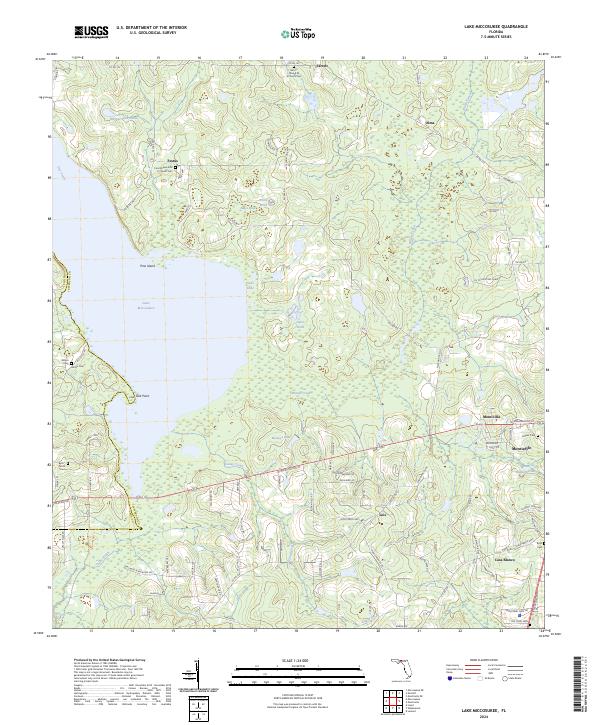
2024 Lake Miccosukee
Jefferson County, FL
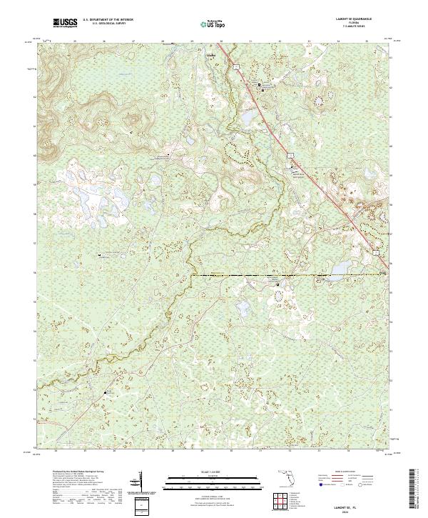
2024 Lamont SE
Jefferson County, FL
2024 Monticello NE
Jefferson County, FL
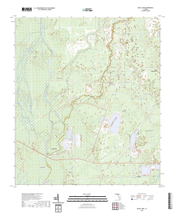
2024 Nutall Rise
Jefferson County, FL
2024 Saint Marks NE
Jefferson County, FL
2025 Cobb Rocks
Jefferson County, FL