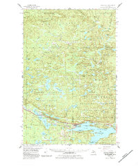
1956 Map of Michigamme
USGS Topo · Published 1984About this map
The northern reaches of the Copper Country State Forest and Escanaba River State Forest converge in this mid-century survey of the rugged Michigan backcountry. Centered on the sprawling waters of Lake Michigamme, the landscape is a complex network of glacial lakes and river systems, including the Peshekee River and the headwaters of the Huron River. Settlement is sparse, defined by the village of Michigamme and industrial pockets like Imperial Heights, while the interior is marked by isolated logging or sporting outposts such as Elmblad Camp, Ruona Camp, and Snyder Camp.
Find a feature on this map
99 named features on this map. Tap any name to fly to it.
Don’t see what you’re looking for? This feature index may not catch every label — zoom into the map to look around manually.
Map Details
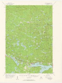
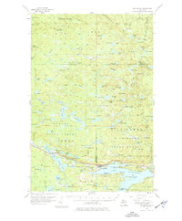
Editions of this 1956 Michigamme Map
4 editions found

Other maps of this area

1895 · Ned Lake
USGS Topo · 1:62,500

1899 · Witbeck
USGS Topo · 1:62,500

1954 · Huron Mountain
USGS Topo · 1:62,500

1954 · Skanee
USGS Topo · 1:62,500

1954 · Keweenaw Bay
USGS Topo · 1:62,500

1955 · Champion
USGS Topo · 1:24,000

1955 · Ned Lake
USGS Topo · 1:62,500

1955 · Herman
USGS Topo · 1:62,500

1955 · Witch Lake NE
USGS Topo · 1:24,000

1955 · Republic
USGS Topo · 1:62,500